East Gore Area, East Gore Postcode(9710) & Map in East Gore
East Gore Area, East Gore Postcode(9710) & Map in East Gore, Gore District, New Zealand
East Gore, Gore District, New Zealand
East Gore Area (estimated)
5.6 square kilometersEast Gore Population (estimated)
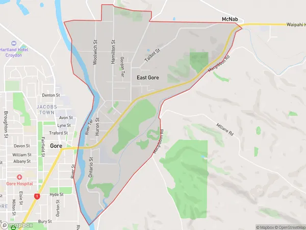
1550 people live in East Gore, Southland, NZEast Gore Suburb Area Map (Polygon)
East Gore Introduction
East Gore is a small rural community in Southland, New Zealand. It is located on the eastern side of the Gore District and is surrounded by stunning natural landscapes, including the Southern Alps and the Fiordland National Park. The community has a population of around 100 people and is known for its friendly and welcoming atmosphere. East Gore is a popular destination for outdoor enthusiasts, with many opportunities for hiking, fishing, and hunting. The community also has a local school, a post office, and a small convenience store.Region
Major City
Suburb Name
East GoreOther Name(s)
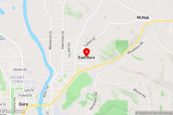
Gordon, Wentworth HeightsEast Gore Area Map (Street)
Local Authority
Gore DistrictFull Address
East Gore, Gore District, New ZealandAddress Type
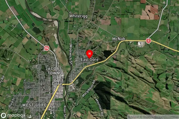
Suburb in Town GoreEast Gore Suburb Map (Satellite)
Country
Main Region in AU
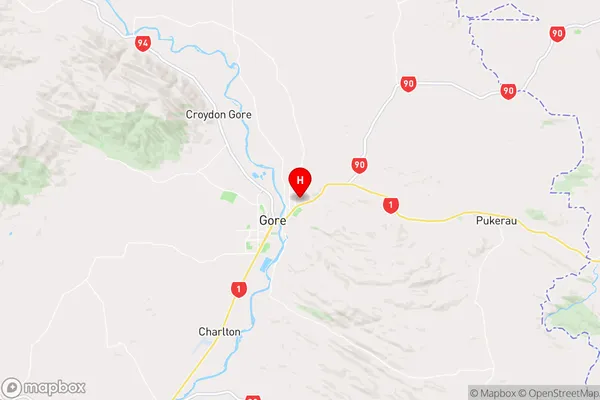
SouthlandEast Gore Region Map
Coordinates
-46.0887868,168.9635453 (latitude/longitude)Distances
The distance from East Gore, Gore, Gore District to NZ Top 10 Cities