Chatton Area, Chatton Postcode(9710) & Map in Chatton
Chatton Area, Chatton Postcode(9710) & Map in Chatton, Gore District, New Zealand
Chatton, Gore District, New Zealand
Chatton Postcodes
Chatton Area (estimated)
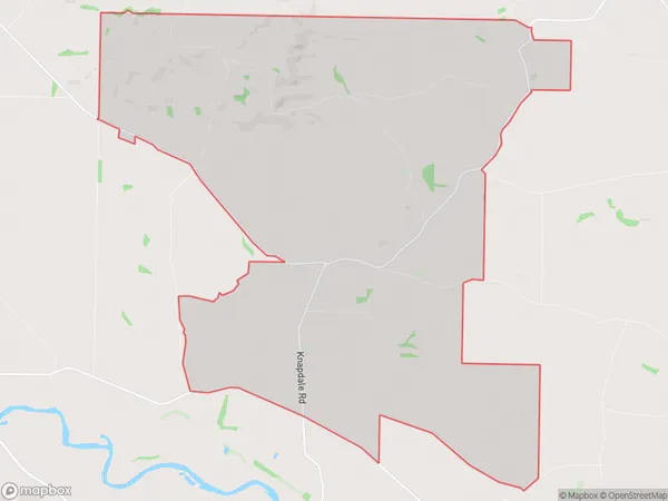
45.4 square kilometersChatton Population (estimated)
110 people live in Chatton, Southland, NZChatton Suburb Area Map (Polygon)
Chatton Introduction
Chatton is a small rural town in Southland, New Zealand, located on the banks of the Mataura River. It is known for its scenic surroundings, including the nearby Mount Cameron and the Mataura Forest Park. The town has a population of around 300 people and is a popular destination for outdoor enthusiasts, with numerous hiking and cycling trails nearby.Region
Major City
Suburb Name
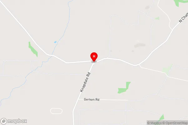
ChattonChatton Area Map (Street)
Local Authority
Gore DistrictFull Address
Chatton, Gore District, New ZealandAddress Type
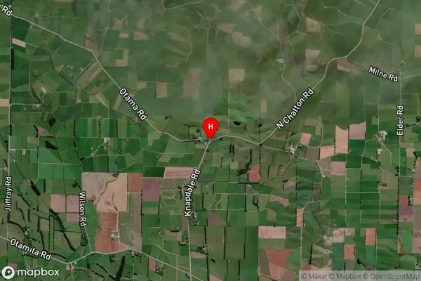
Locality in Town GoreChatton Suburb Map (Satellite)
Country
Main Region in AU
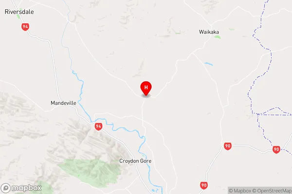
SouthlandChatton Region Map
Coordinates
-45.9852367,168.922697 (latitude/longitude)Distances
The distance from Chatton, Gore, Gore District to NZ Top 10 Cities