Kaiwera Area, Kaiwera Postcode(9710) & Map in Kaiwera, Clutha District
Kaiwera Area, Kaiwera Postcode(9710) & Map in Kaiwera, Clutha District, Gore District, New Zealand
Kaiwera, Clutha District, Gore District, New Zealand
Kaiwera Postcodes
Kaiwera Area (estimated)
119.0 square kilometersKaiwera Population (estimated)
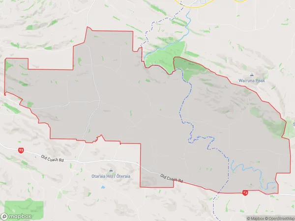
155 people live in Kaiwera, Southland, NZKaiwera Suburb Area Map (Polygon)
Kaiwera Introduction
Kaiwera is a small rural community in Gore, Southland, New Zealand. It is known for its stunning natural scenery, including the Kaiwera Gorge and the Kaiwera Forest Park. The community has a population of around 200 people and is located on the banks of the Kaiwera River. Kaiwera is a popular destination for outdoor enthusiasts, with many opportunities for hiking, fishing, and hunting. The town also has a historic church and a community hall, which are used for various events and gatherings.Region
Major City
Suburb Name
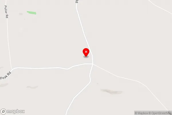
KaiweraKaiwera Area Map (Street)
Local Authority
Clutha District, Gore DistrictFull Address
Kaiwera, Clutha District, Gore District, New ZealandAddress Type
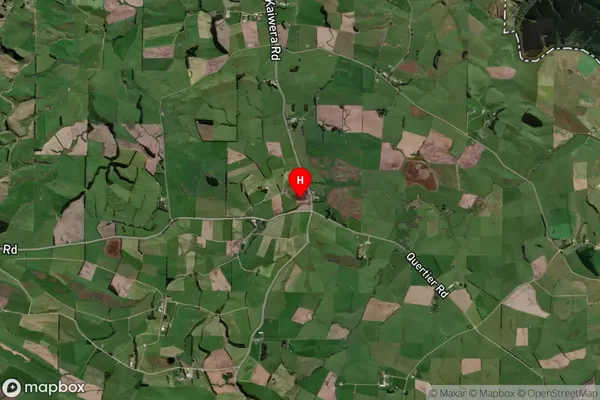
Locality in Town GoreKaiwera Suburb Map (Satellite)
Country
Main Region in AU
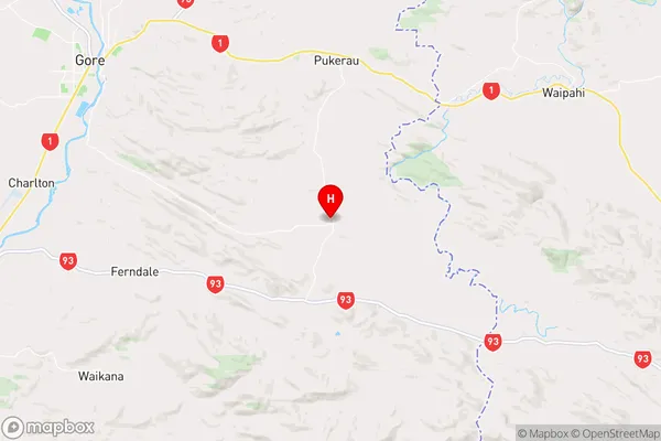
SouthlandKaiwera Region Map
Coordinates
-46.1676497,169.0947046 (latitude/longitude)Distances
The distance from Kaiwera, Gore, Clutha District, Gore District to NZ Top 10 Cities