Otamita Area, Otamita Postcode(9710) & Map in Otamita
Otamita Area, Otamita Postcode(9710) & Map in Otamita, Gore District, New Zealand
Otamita, Gore District, New Zealand
Otamita Postcodes
Otamita Area (estimated)
36.0 square kilometersOtamita Population (estimated)
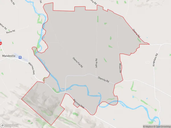
65 people live in Otamita, Southland, NZOtamita Suburb Area Map (Polygon)
Otamita Introduction
Otamita is a small rural community in Southland, New Zealand. It is located on the Otamita River, 12 kilometers south of Gore, and has a population of around 100 people. The community is known for its scenic surroundings, including the Otamita Mountains and the Otamita Forest Park. It is also home to a variety of wildlife, including kea, tui, and kiwi.Region
Major City
Suburb Name
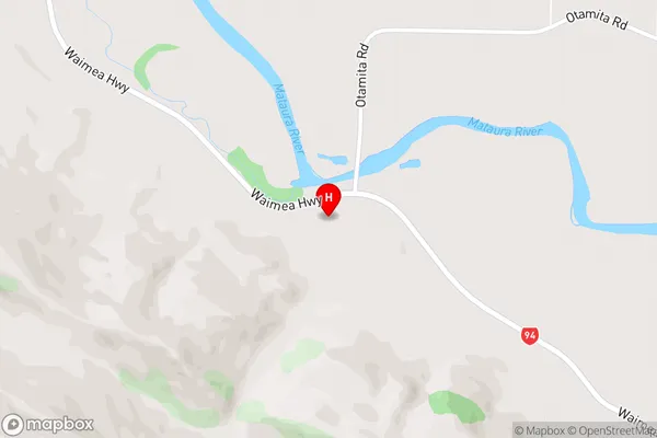
OtamitaOtamita Area Map (Street)
Local Authority
Gore DistrictFull Address
Otamita, Gore District, New ZealandAddress Type
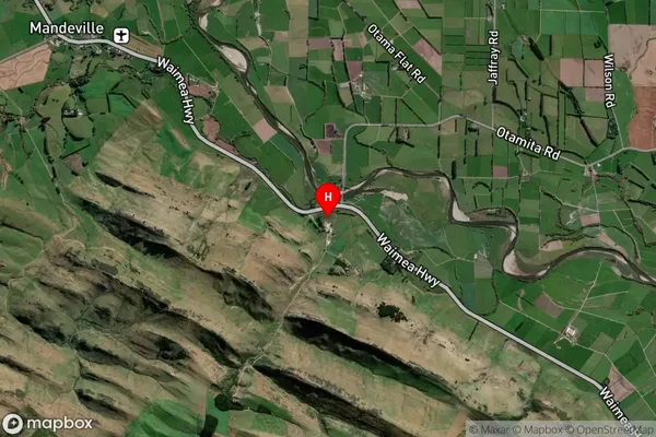
Locality in Town GoreOtamita Suburb Map (Satellite)
Country
Main Region in AU
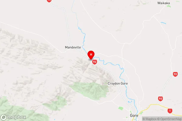
SouthlandOtamita Region Map
Coordinates
-46.011888,168.847234 (latitude/longitude)Distances
The distance from Otamita, Gore, Gore District to NZ Top 10 Cities