Wendon Valley Area, Wendon Valley Postcode(9773) & Map in Wendon Valley
Wendon Valley Area, Wendon Valley Postcode(9773) & Map in Wendon Valley, Gore District, New Zealand
Wendon Valley, Gore District, New Zealand
Wendon Valley Postcodes
Wendon Valley Area (estimated)
95.5 square kilometersWendon Valley Population (estimated)
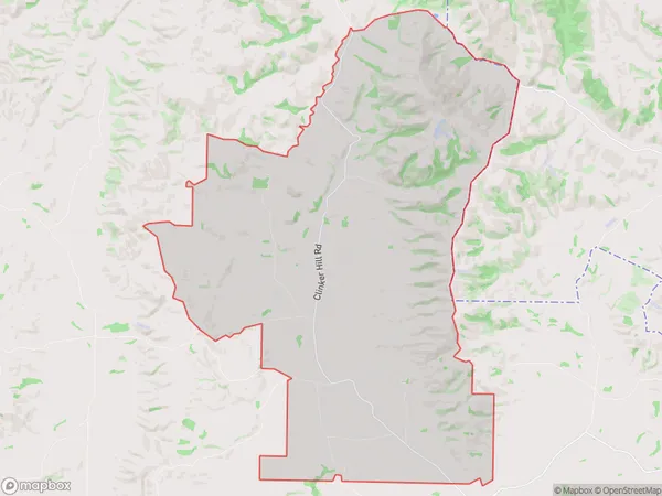
71 people live in Wendon Valley, Southland, NZWendon Valley Suburb Area Map (Polygon)
Wendon Valley Introduction
Wendon Valley is a rural community in Gore, Southland, New Zealand. It is known for its scenic countryside, outdoor activities, and friendly locals. The area is home to a variety of wildlife, including deer, rabbits, and birds. The Wendon River runs through the valley, providing opportunities for fishing and swimming. The community has a primary school, a post office, and a small supermarket.Region
Major City
Suburb Name
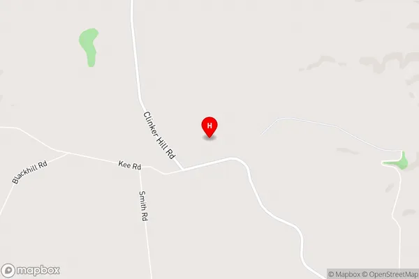
Wendon ValleyWendon Valley Area Map (Street)
Local Authority
Gore DistrictFull Address
Wendon Valley, Gore District, New ZealandAddress Type
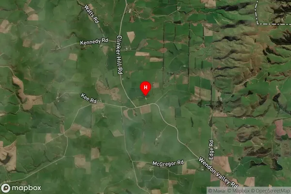
Locality in Town GoreWendon Valley Suburb Map (Satellite)
Country
Main Region in AU
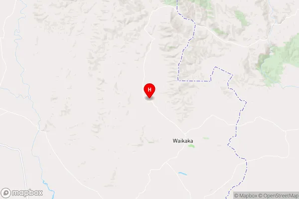
SouthlandWendon Valley Region Map
Coordinates
-45.8815083,168.9655638 (latitude/longitude)Distances
The distance from Wendon Valley, Gore, Gore District to NZ Top 10 Cities