Waikaka Valley Area, Waikaka Valley Postcode(9710) & Map in Waikaka Valley
Waikaka Valley Area, Waikaka Valley Postcode(9710) & Map in Waikaka Valley, Gore District, New Zealand
Waikaka Valley, Gore District, New Zealand
Waikaka Valley Postcodes
Waikaka Valley Area (estimated)
47.3 square kilometersWaikaka Valley Population (estimated)
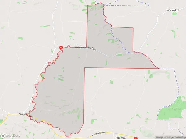
104 people live in Waikaka Valley, Southland, NZWaikaka Valley Suburb Area Map (Polygon)
Waikaka Valley Introduction
Waikaka Valley is a picturesque rural area in Gore, Southland, New Zealand. It is known for its stunning natural scenery, including rolling hills, lush green forests, and crystal-clear rivers. The valley is a popular destination for outdoor activities such as hiking, mountain biking, and fishing, and it is home to a variety of wildlife, including kea, tui, and red deer. The area also has a rich cultural heritage, with several historic buildings and landmarks, including the Waikaka Village Museum and the Waikaka Falls.Region
Major City
Suburb Name
Waikaka ValleyOther Name(s)
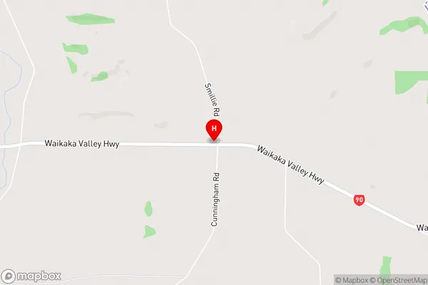
OtikeramaWaikaka Valley Area Map (Street)
Local Authority
Gore DistrictFull Address
Waikaka Valley, Gore District, New ZealandAddress Type
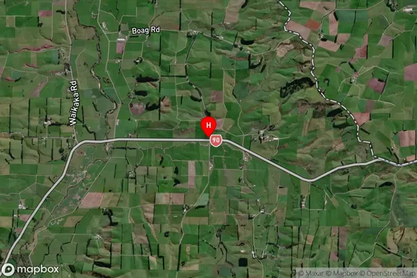
Locality in Town GoreWaikaka Valley Suburb Map (Satellite)
Country
Main Region in AU
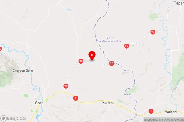
SouthlandWaikaka Valley Region Map
Coordinates
-46.0330533,169.0627885 (latitude/longitude)Distances
The distance from Waikaka Valley, Gore, Gore District to NZ Top 10 Cities