Te Kiteroa Area, Te Kiteroa Postcode(9710) & Map in Te Kiteroa, Clutha District
Te Kiteroa Area, Te Kiteroa Postcode(9710) & Map in Te Kiteroa, Clutha District, Gore District, New Zealand
Te Kiteroa, Clutha District, Gore District, New Zealand
Te Kiteroa Postcodes
Te Kiteroa Area (estimated)
9.0 square kilometersTe Kiteroa Population (estimated)
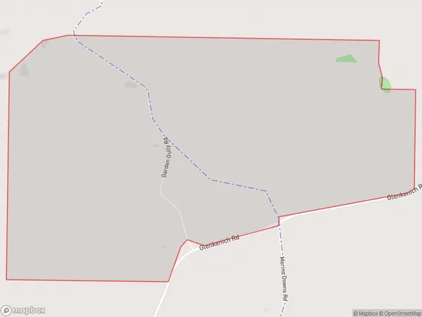
16 people live in Te Kiteroa, Southland, NZTe Kiteroa Suburb Area Map (Polygon)
Te Kiteroa Introduction
Te Kiteroa is a small settlement in Southland, New Zealand. It is located on State Highway 6 and is situated between the Taieri River and the Mataura River. The settlement has a population of around 50 people and is known for its scenic surroundings and outdoor activities such as fishing and hiking.Region
Major City
Suburb Name
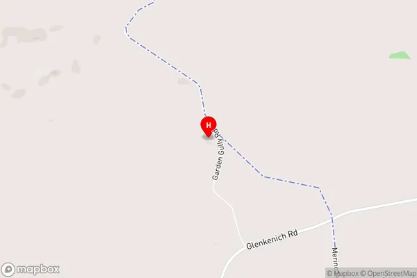
Te KiteroaTe Kiteroa Area Map (Street)
Local Authority
Clutha District, Gore DistrictFull Address
Te Kiteroa, Clutha District, Gore District, New ZealandAddress Type
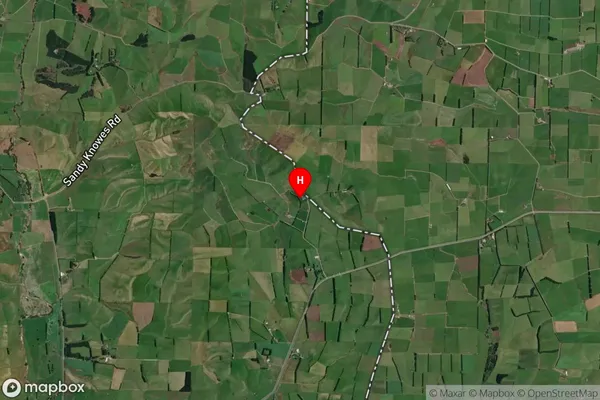
Locality in Town GoreTe Kiteroa Suburb Map (Satellite)
Country
Main Region in AU
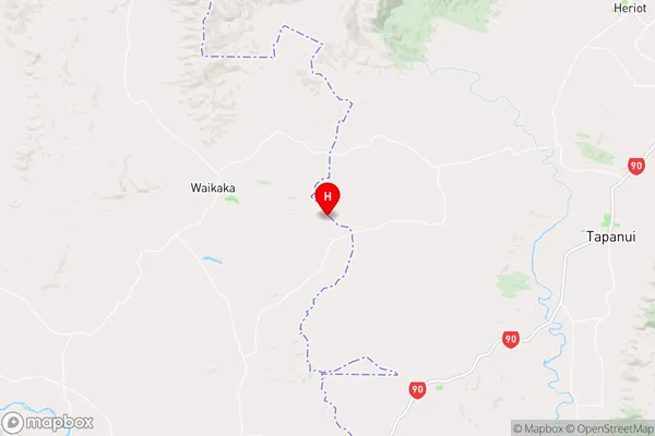
SouthlandTe Kiteroa Region Map
Coordinates
-45.9343641,169.0836226 (latitude/longitude)Distances
The distance from Te Kiteroa, Gore, Clutha District, Gore District to NZ Top 10 Cities