Maitland Area, Maitland Postcode(9710) & Map in Maitland
Maitland Area, Maitland Postcode(9710) & Map in Maitland, Gore District, New Zealand
Maitland, Gore District, New Zealand
Maitland Postcodes
Maitland Area (estimated)
52.0 square kilometersMaitland Population (estimated)
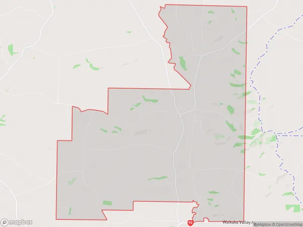
148 people live in Maitland, Southland, NZMaitland Suburb Area Map (Polygon)
Maitland Introduction
Maitland is a small town in Southland, New Zealand, located on the banks of the Maitland River. It is known for its historic buildings, including the Maitland Hotel, which was built in 1887. The town also has a variety of recreational facilities, including a golf course and a swimming pool. Maitland is a popular destination for tourists and is located close to several scenic attractions, including the Southern Alps and the Fiordland National Park.Region
Major City
Suburb Name
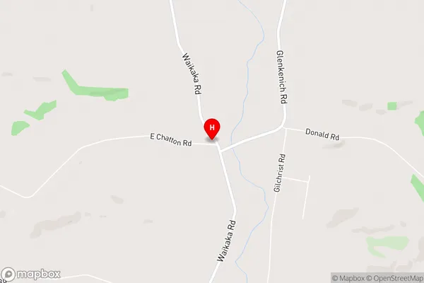
MaitlandMaitland Area Map (Street)
Local Authority
Gore DistrictFull Address
Maitland, Gore District, New ZealandAddress Type
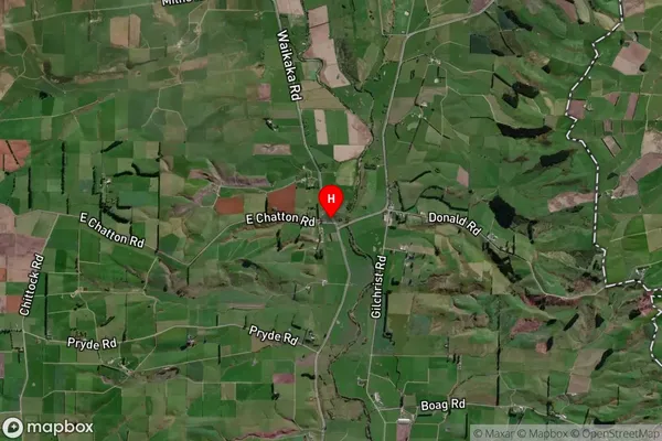
Locality in Town GoreMaitland Suburb Map (Satellite)
Country
Main Region in AU
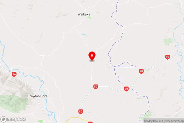
SouthlandMaitland Region Map
Coordinates
-45.9944712,169.0298724 (latitude/longitude)Distances
The distance from Maitland, Gore, Gore District to NZ Top 10 Cities