Waimumu Area, Waimumu Postcode(9710) & Map in Waimumu, Gore District
Waimumu Area, Waimumu Postcode(9710) & Map in Waimumu, Gore District, Southland District, New Zealand
Waimumu, Gore District, Southland District, New Zealand
Waimumu Postcodes
Waimumu Area (estimated)
146.0 square kilometersWaimumu Population (estimated)
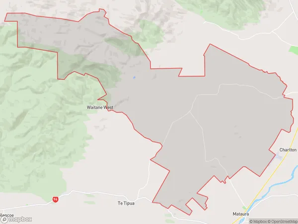
323 people live in Waimumu, Southland, NZWaimumu Suburb Area Map (Polygon)
Waimumu Introduction
Waimumu is a small town in Southland, New Zealand, with a population of around 1,000 people. It is known for its scenic surroundings, including the Waimumu Forest and the Waimumu River. The town is located on State Highway 6, approximately 30 minutes from Gore and 2 hours from Invercargill. Waimumu has a primary school, a post office, a supermarket, and a variety of other services. The town is also home to a number of historic buildings, including the Waimumu Hotel, which was built in 1887.Region
Major City
Suburb Name
WaimumuOther Name(s)
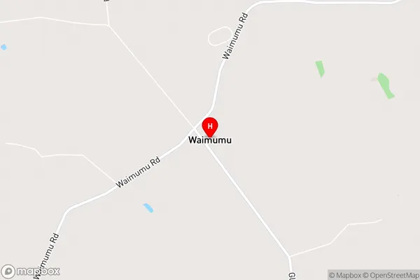
Brydone NorthWaimumu Area Map (Street)
Local Authority
Gore District, Southland DistrictFull Address
Waimumu, Gore District, Southland District, New ZealandAddress Type
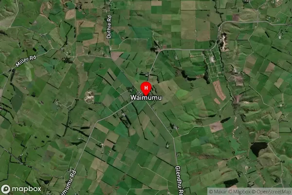
Locality in Town GoreWaimumu Suburb Map (Satellite)
Country
Main Region in AU
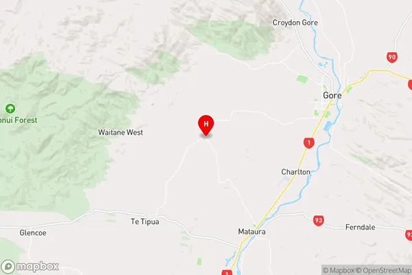
SouthlandWaimumu Region Map
Coordinates
-46.12767,168.81845 (latitude/longitude)Distances
The distance from Waimumu, Gore, Gore District, Southland District to NZ Top 10 Cities