Croydon Bush Area, Croydon Bush Postcode & Map in Croydon Bush
Croydon Bush Area, Croydon Bush Postcode & Map in Croydon Bush, Gore District,
Croydon Bush, Gore District,
Croydon Bush Area (estimated)
72.7 square kilometersCroydon Bush Population (estimated)
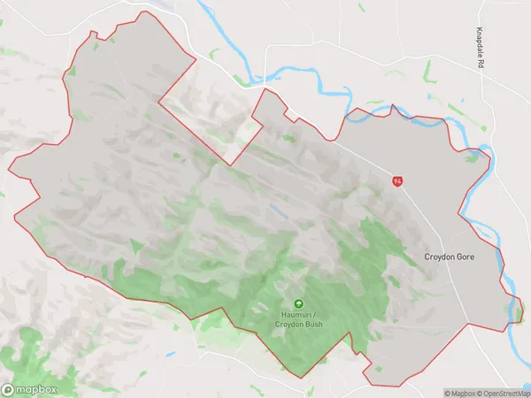
70 people live in Croydon Bush, Gore, NZCroydon Bush Suburb Area Map (Polygon)
Croydon Bush Introduction
Croydon Bush is a historic area in Gore, Otago, New Zealand. It was once a significant gold-mining center, with numerous buildings and ruins from the 1860s and 1870s. The bush is now a popular hiking and picnic spot, with stunning views of the surrounding countryside and the opportunity to explore the area's rich history.Region
Major City
Suburb Name
Croydon BushCroydon Bush Area Map (Street)
Local Authority
Gore DistrictFull Address
Croydon Bush, Gore District,Address Type
Locality in Town GoreCroydon Bush Suburb Map (Satellite)
Country
Main Region in AU
OtagoCroydon Bush Region Map
Coordinates
0,0 (latitude/longitude)Distances
The distance from Croydon Bush, Gore, Gore District to NZ Top 10 Cities