Croydon Area, Croydon Postcode(9710) & Map in Croydon
Croydon Area, Croydon Postcode(9710) & Map in Croydon, Gore District, New Zealand
Croydon, Gore District, New Zealand
Croydon Postcodes
Croydon Area (estimated)
7.5 square kilometersCroydon Population (estimated)
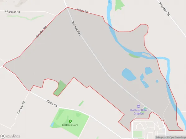
59 people live in Croydon, Southland, NZCroydon Suburb Area Map (Polygon)
Croydon Introduction
Croydon is a small town in Southland, New Zealand, located on the banks of the Croydon River. It is known for its historic buildings, including the Croydon Hotel, and for its scenic surroundings, including the Croydon Forest Park. The town has a population of around 1,000 people and is a popular stopover for tourists traveling between Invercargill and Queenstown.Region
Major City
Suburb Name
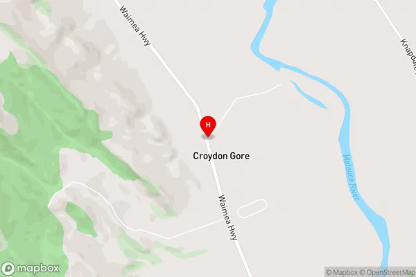
CroydonCroydon Area Map (Street)
Local Authority
Gore DistrictFull Address
Croydon, Gore District, New ZealandAddress Type
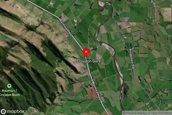
Locality in Town GoreCroydon Suburb Map (Satellite)
Country
Main Region in AU
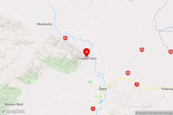
SouthlandCroydon Region Map
Coordinates
-46.046514,168.90608 (latitude/longitude)Distances
The distance from Croydon, Gore, Gore District to NZ Top 10 Cities