Waipahi Area, Waipahi Postcode & Map in Waipahi
Waipahi Area, Waipahi Postcode & Map in Waipahi, Clutha District, New Zealand
Waipahi, Clutha District, New Zealand
Waipahi Area (estimated)
129.4 square kilometersWaipahi Population (estimated)
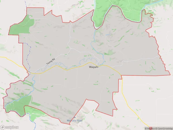
190 people live in Waipahi, Otago, NZWaipahi Suburb Area Map (Polygon)
Waipahi Introduction
Waipahi is a small rural community in Gore, Otago, New Zealand. It is located on the banks of the Waipahi River, 12 km south of Gore and 112 km south of Dunedin. The area was first settled in the 1860s by Scottish and Irish settlers, and the village was established in the 1870s. The community has a primary school, a post office, a church, and a few small businesses. Waipahi is known for its scenic surroundings, including the Waipahi Falls and the Waipahi Forest Park. The area is popular with outdoor enthusiasts, including hikers, cyclists, and fishermen.Region
Major City
Suburb Name
WaipahiOther Name(s)
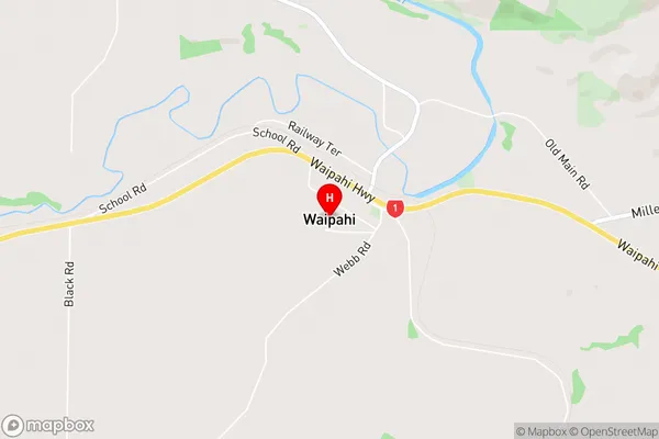
ArthurtonWaipahi Area Map (Street)
Local Authority
Clutha DistrictFull Address
Waipahi, Clutha District, New ZealandAddress Type
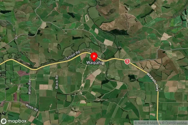
Locality in Town GoreWaipahi Suburb Map (Satellite)
Country
Main Region in AU
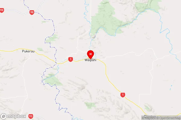
OtagoWaipahi Region Map
Coordinates
-46.1125428,169.2401076 (latitude/longitude)Distances
The distance from Waipahi, Gore, Clutha District to NZ Top 10 Cities