Whiterigg Area, Whiterigg Postcode(9710) & Map in Whiterigg
Whiterigg Area, Whiterigg Postcode(9710) & Map in Whiterigg, Gore District, New Zealand
Whiterigg, Gore District, New Zealand
Whiterigg Postcodes
Whiterigg Area (estimated)
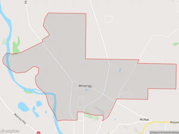
9.6 square kilometersWhiterigg Population (estimated)
127 people live in Whiterigg, Southland, NZWhiterigg Suburb Area Map (Polygon)
Whiterigg Introduction
Whiterigg, Gore, Southland, New Zealand, is a small rural town located on the Southern Scenic Route. It is known for its stunning natural surroundings, including the Whiterigg Forest Park and the Blue Mountains. The town has a population of around 1,000 people and is a popular destination for outdoor enthusiasts and tourists.Region
Major City
Suburb Name
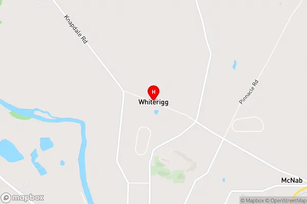
WhiteriggWhiterigg Area Map (Street)
Local Authority
Gore DistrictFull Address
Whiterigg, Gore District, New ZealandAddress Type
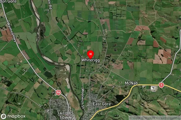
Locality in Town GoreWhiterigg Suburb Map (Satellite)
Country
Main Region in AU
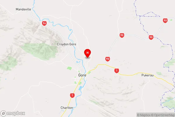
SouthlandWhiterigg Region Map
Coordinates
-46.07136,168.95715 (latitude/longitude)Distances
The distance from Whiterigg, Gore, Gore District to NZ Top 10 Cities