Pukerau Area, Pukerau Postcode(9772) & Map in Pukerau
Pukerau Area, Pukerau Postcode(9772) & Map in Pukerau, Gore District, New Zealand
Pukerau, Gore District, New Zealand
Pukerau Postcodes
Pukerau Area (estimated)
93.5 square kilometersPukerau Population (estimated)
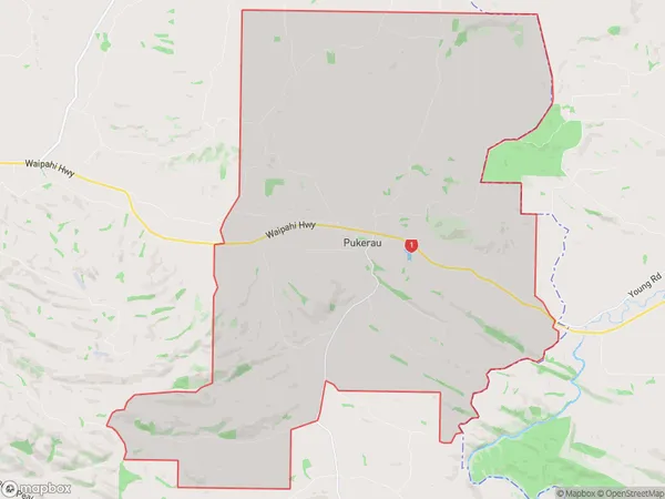
250 people live in Pukerau, Southland, NZPukerau Suburb Area Map (Polygon)
Pukerau Introduction
Pukerau is a small town in Southland, New Zealand, located on the banks of the Pukerau River. It is known for its coal mining and farming industries. The town has a population of around 2,000 people and is surrounded by stunning natural scenery, including the Southern Alps and the Pukerau Range.Region
Major City
Suburb Name
PukerauOther Name(s)
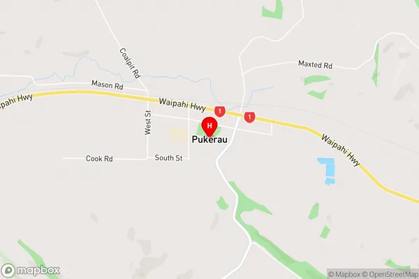
BenioPukerau Area Map (Street)
Local Authority
Gore DistrictFull Address
Pukerau, Gore District, New ZealandAddress Type
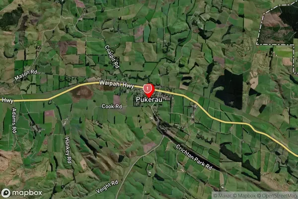
Locality in Town GorePukerau Suburb Map (Satellite)
Country
Main Region in AU
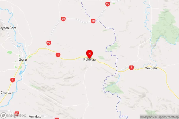
SouthlandPukerau Region Map
Coordinates
-46.0986017,169.0983973 (latitude/longitude)Distances
The distance from Pukerau, Gore, Gore District to NZ Top 10 Cities