Conical Hill Area, Conical Hill Postcode & Map in Conical Hill
Conical Hill Area, Conical Hill Postcode & Map in Conical Hill, Clutha District, New Zealand
Conical Hill, Clutha District, New Zealand
Conical Hill Area (estimated)
60.7 square kilometersConical Hill Population (estimated)
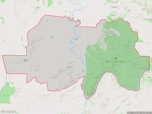
57 people live in Conical Hill, Otago, NZConical Hill Suburb Area Map (Polygon)
Conical Hill Introduction
Conical Hill is a prominent landmark located in Gore, Otago, New Zealand. It is a volcanic cone that rises to an elevation of approximately 1,200 meters above sea level. The hill was formed during the eruption of Mount Cargill in the late 1800s and is a popular destination for hiking and mountain biking. The summit offers panoramic views of the surrounding area, including the Southern Alps, Lake Wakatipu, and the town of Gore.Region
Major City
Suburb Name
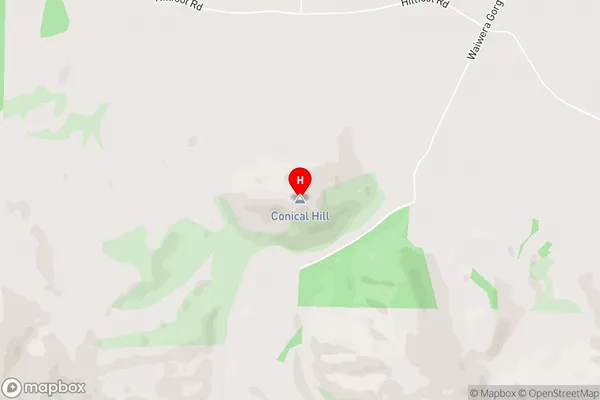
Conical HillConical Hill Area Map (Street)
Local Authority
Clutha DistrictFull Address
Conical Hill, Clutha District, New ZealandAddress Type
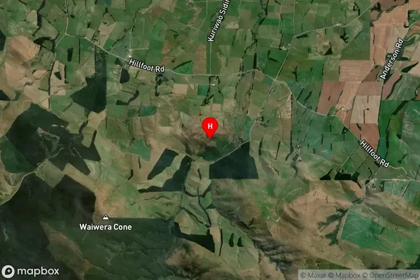
Locality in Town GoreConical Hill Suburb Map (Satellite)
Country
Main Region in AU
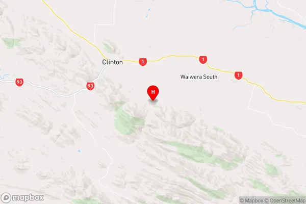
OtagoConical Hill Region Map
Coordinates
-46.239268,169.429842 (latitude/longitude)Distances
The distance from Conical Hill, Gore, Clutha District to NZ Top 10 Cities