Waikoikoi Area, Waikoikoi Postcode(9775) & Map in Waikoikoi
Waikoikoi Area, Waikoikoi Postcode(9775) & Map in Waikoikoi, Clutha District, New Zealand
Waikoikoi, Clutha District, New Zealand
Waikoikoi Postcodes
Waikoikoi Area (estimated)
105.7 square kilometersWaikoikoi Population (estimated)
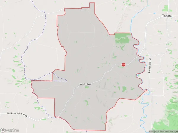
165 people live in Waikoikoi, Otago, NZWaikoikoi Suburb Area Map (Polygon)
Waikoikoi Introduction
Waikoikoi is a small rural community in Gore, Otago, New Zealand. It is located on State Highway 1, 12 km south of Gore and 15 km north of Lumsden. The community has a population of around 100 people and is known for its scenic surroundings and peaceful atmosphere. The area is popular with outdoor enthusiasts and tourists, who enjoy hiking, fishing, and hunting in the surrounding mountains and forests.Region
Major City
Suburb Name
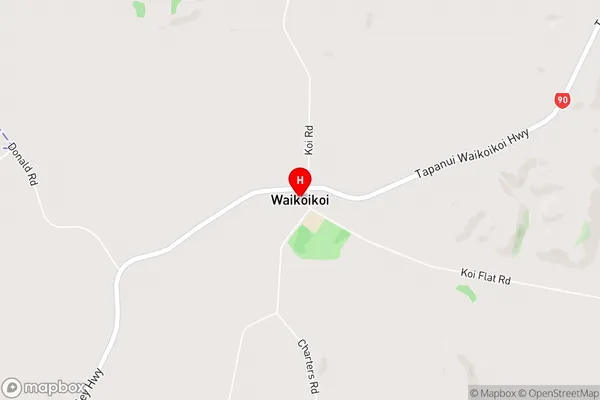
WaikoikoiWaikoikoi Area Map (Street)
Local Authority
Clutha DistrictFull Address
Waikoikoi, Clutha District, New ZealandAddress Type
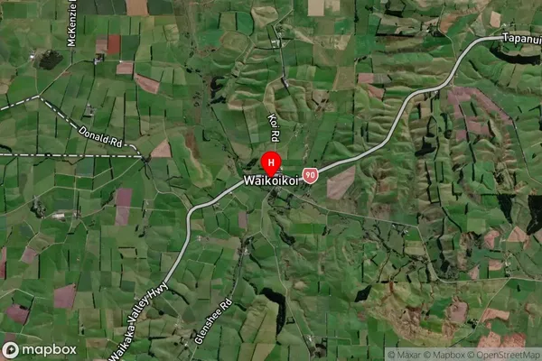
Locality in Town GoreWaikoikoi Suburb Map (Satellite)
Country
Main Region in AU
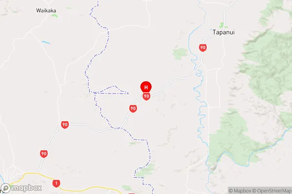
OtagoWaikoikoi Region Map
Coordinates
-46.0062913,169.152455 (latitude/longitude)Distances
The distance from Waikoikoi, Gore, Clutha District to NZ Top 10 Cities