Mandeville Area, Mandeville Postcode(9710) & Map in Mandeville, Gore District
Mandeville Area, Mandeville Postcode(9710) & Map in Mandeville, Gore District, Southland District, New Zealand
Mandeville, Gore District, Southland District, New Zealand
Mandeville Postcodes
Mandeville Area (estimated)
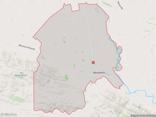
83.1 square kilometersMandeville Population (estimated)
158 people live in Mandeville, Southland, NZMandeville Suburb Area Map (Polygon)
Mandeville Introduction
Mandeville is a small rural town in Southland, New Zealand. It is located on the banks of the Mataura River and is known for its scenic surroundings and outdoor activities such as hunting, fishing, and hiking. The town has a population of around 1,000 people and is surrounded by farmland and forest.Region
Major City
Suburb Name
MandevilleOther Name(s)
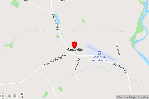
PyramidMandeville Area Map (Street)
Local Authority
Gore District, Southland DistrictFull Address
Mandeville, Gore District, Southland District, New ZealandAddress Type
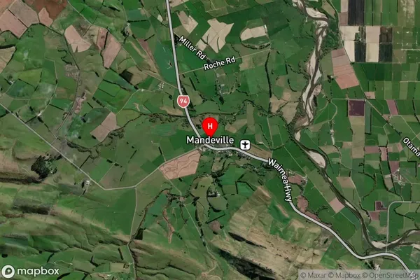
Locality in Town GoreMandeville Suburb Map (Satellite)
Country
Main Region in AU
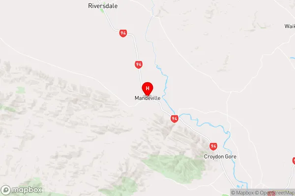
SouthlandMandeville Region Map
Coordinates
-45.9910905,168.8061561 (latitude/longitude)Distances
The distance from Mandeville, Gore, Gore District, Southland District to NZ Top 10 Cities