Ashburton Suburbs & Region, Ashburton Map & Postcodes in Ashburton, Canterbury
Ashburton Postcodes, Ashburton ZipCodes, Ashburton , Ashburton Canterbury, Ashburton Suburbs, Ashburton Region, Ashburton Map, Ashburton Area
Ashburton Region
Ashburton Suburbs
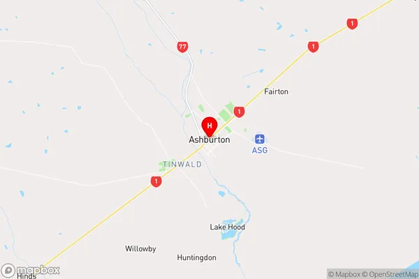
Ashburton is a city place type in Canterbury, NZ. It contains 33 suburbs or localities.Ashburton Region Map
Ashburton Introduction
Ashburton is a city in Canterbury, New Zealand, with a population of around 10,000 people. It is known for its historic buildings, including the Ashburton County Courthouse, which was built in 1877. The city is also home to a variety of businesses and industries, including a dairy factory and a timber processing plant. Ashburton is located in the Ashburton District, which is a productive agricultural area known for its wool and sheep farming. The city is surrounded by beautiful countryside, including the Mount Ashburton Conservation Park, and is a popular destination for outdoor activities such as hiking, skiing, and fishing.Ashburton Region
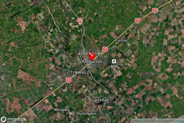
Ashburton Satellite Map
Full Address
Ashburton, CanterburyAshburton Coordinates
-43.90244,171.750333 (Latitude / Longitude)Ashburton Map in NZ
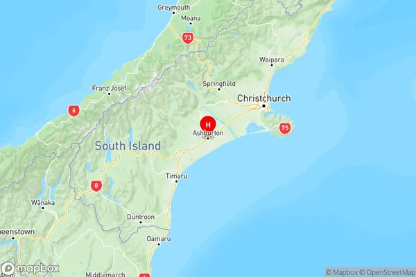
NZ Island
South IslandCountry
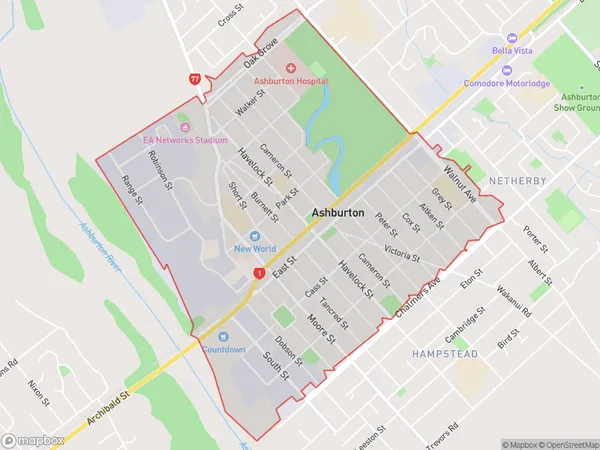
Ashburton Area Map (Polygon)
Name
AshburtonAdditional Name
Local Authority
Ashburton District
Ashburton Suburbs (Sort by Population)
Allenton
Allenton - 7310Tinwald
Tinwald - 4280Ashburton
Ashburton - 3207Hampstead
Hampstead - 3153Netherby
Netherby - 2577Hinds
Hinds - 901Elgin
Elgin - 682Huntingdon
Huntingdon - 511Mitcham
Mitcham - 450Newland
Newland - 438Mayfield
Mayfield - 420Wakanui
Wakanui - 391Westerfield
Westerfield - 386Pendarves
Pendarves - 383Willowby
Willowby - 371Eiffelton
Eiffelton - 344Ealing
Ealing - 328Chertsey
Chertsey - 297Maronan
Maronan - 264Winchmore
Winchmore - 263Fairton
Fairton - 244Lismore
Lismore - 242Winslow
Winslow - 241Ashburton Forks
Ashburton Forks - 236Ruapuna
Ruapuna - 234Carew
Carew - 223Coldstream
Coldstream - 205Greenstreet
Greenstreet - 174Valetta
Valetta - 151Lowcliffe
Lowcliffe - 149Lagmhor
Lagmhor - 107Ashton
Ashton - 98Dromore
Dromore - 94
Ashburton Suburbs (Sort in alphabetical)
Allenton
Ashburton
Chertsey
Eiffelton
Elgin
Fairton
Hampstead
Hinds
Huntingdon/Lake Hood
Lauriston
Lismore
Mayfield
Methven
Mitcham
Mitcham
Mount Somers
Netherby
Rakaia
Staveley
Tinwald
Westerfield
Winchmore
Winslow