Hampstead Suburbs & Region, Hampstead Map & Postcodes in Hampstead, Ashburton, Canterbury
Hampstead Postcodes, Hampstead ZipCodes, Hampstead , Hampstead Canterbury, Hampstead Suburbs, Hampstead Region, Hampstead Map, Hampstead Area
Hampstead Region
Hampstead Suburbs
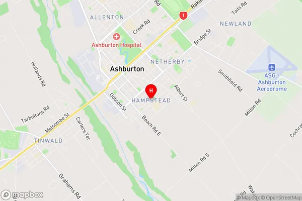
Hampstead is a suburb place type in Ashburton, Canterbury, NZ. It contains 0 suburbs or localities.Hampstead Region Map
Hampstead Introduction
Hampstead is a suburb of Christchurch, New Zealand, located in the eastern suburbs of the city. It is known for its picturesque gardens, historic homes, and vibrant community. The area was first settled in the 1850s and has since grown into a popular residential area with a mix of older character homes and modern apartments. Hampstead is surrounded by parks and recreational facilities, including the Hampstead Golf Club, Hampstead Park, and the Avonhead Shopping Centre. The suburb is also home to a number of educational institutions, including Hampstead School and Christ's College.Hampstead Region
Hampstead City
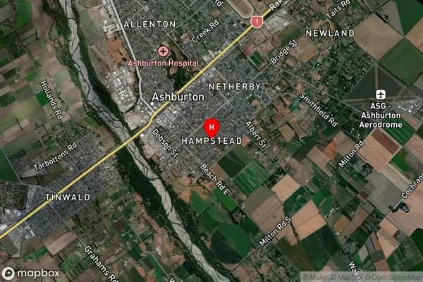
Hampstead Satellite Map
Full Address
Hampstead, Ashburton, CanterburyHampstead Coordinates
-43.910229,171.758498 (Latitude / Longitude)Hampstead Map in NZ
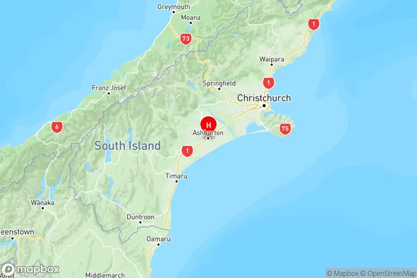
NZ Island
South IslandCountry
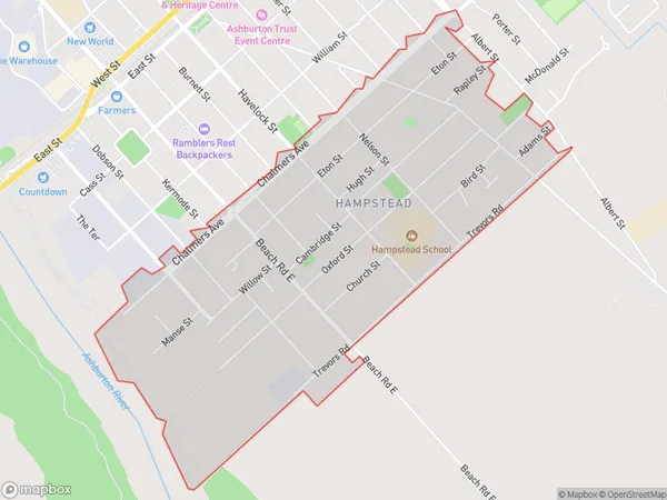
Hampstead Area Map (Polygon)
Name
HampsteadAdditional Name
Local Authority
Ashburton District
Hampstead Suburbs (Sort by Population)
Hampstead suburb has around
1.9 square
kilometers.There are more than 3153 people (estimated)
live in Hampstead, Ashburton, Canterbury, New Zealand.