Hampstead Area, Hampstead Postcode(7777) & Map in Hampstead
Hampstead Area, Hampstead Postcode(7777) & Map in Hampstead, Ashburton District, New Zealand
Hampstead, Ashburton District, New Zealand
Hampstead Area (estimated)
1.9 square kilometersHampstead Population (estimated)
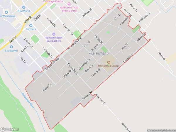
3153 people live in Hampstead, Canterbury, NZHampstead Suburb Area Map (Polygon)
Hampstead Introduction
Hampstead is a suburb of Christchurch, New Zealand, located in the Ashburton District. It is known for its historic homes and gardens, and the Hampstead Village Green, a popular community space. The suburb has a rural feel, with plenty of green spaces and picturesque views. Hampstead is located approximately 7 kilometers from the city center of Christchurch and is well-connected to other parts of the city via public transportation.Region
Major City
Suburb Name
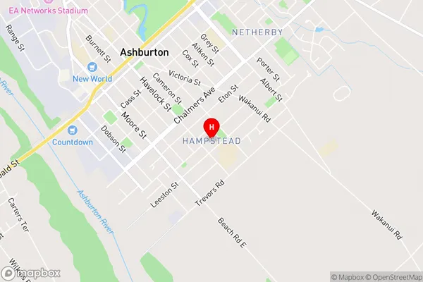
HampsteadHampstead Area Map (Street)
Local Authority
Ashburton DistrictFull Address
Hampstead, Ashburton District, New ZealandAddress Type
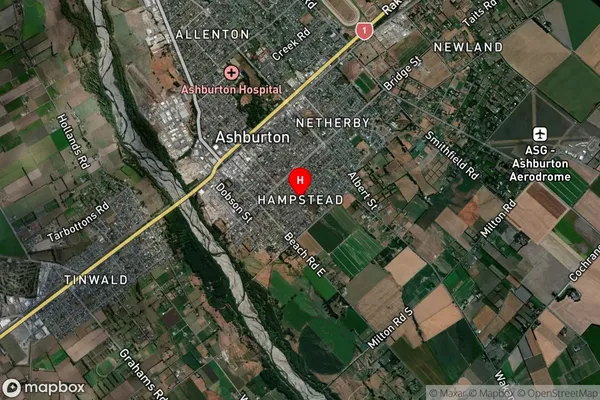
Suburb in Town AshburtonHampstead Suburb Map (Satellite)
Country
Main Region in AU
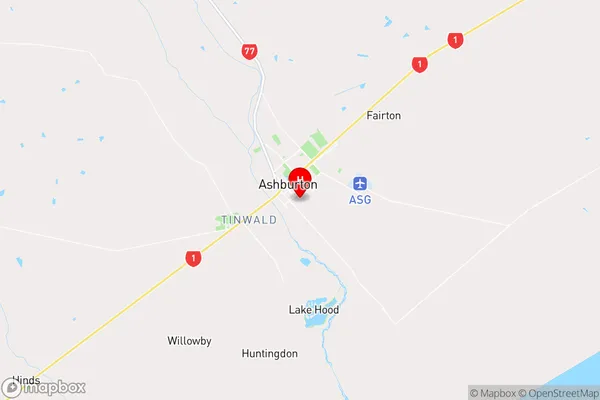
CanterburyHampstead Region Map
Coordinates
-43.9102287,171.7584982 (latitude/longitude)Distances
The distance from Hampstead, Ashburton, Ashburton District to NZ Top 10 Cities