Westerfield Suburbs & Region, Westerfield Map & Postcodes in Westerfield, Ashburton, Canterbury
Westerfield Postcodes, Westerfield ZipCodes, Westerfield , Westerfield Canterbury, Westerfield Suburbs, Westerfield Region, Westerfield Map, Westerfield Area
Westerfield Region (Hackthorne, Punawai Region)
Westerfield Suburbs
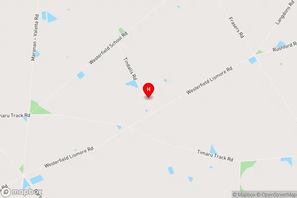
Westerfield is a suburb place type in Ashburton, Canterbury, NZ. It contains 0 suburbs or localities.Westerfield Region Map
Westerfield Introduction
Westerfield is a small town located in the Canterbury region of New Zealand, about 10 kilometers south of Christchurch. It is known for its picturesque rural setting, with rolling hills, farms, and picturesque gardens. The town has a population of around 2,000 people and is home to a variety of shops, cafes, and recreational facilities, including a golf course and a sports stadium. Westerfield is also home to a number of historic buildings, including the Westerfield Hall, which was built in 1878 and is now a cultural heritage site. The town is surrounded by beautiful countryside and is a popular destination for outdoor activities such as hiking, cycling, and fishing.Westerfield Region
Westerfield City
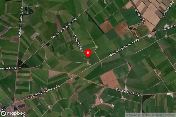
Westerfield Satellite Map
Full Address
Westerfield, Ashburton, CanterburyWesterfield Coordinates
-43.865323,171.559994 (Latitude / Longitude)Westerfield Map in NZ
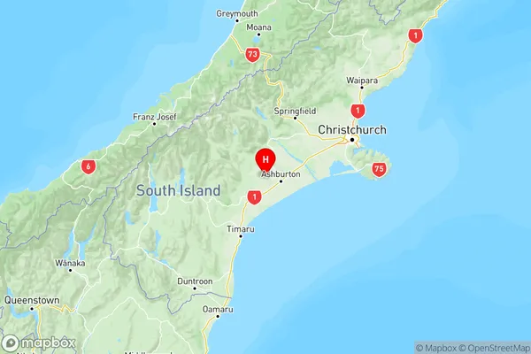
NZ Island
South IslandCountry
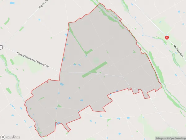
Westerfield Area Map (Polygon)
Name
WesterfieldAdditional Name
Hackthorne, PunawaiLocal Authority
Ashburton District
Westerfield Suburbs (Sort by Population)
Westerfield also known as Hackthorne, Punawai. Westerfield suburb has around
143.0 square
kilometers.There are more than 386 people (estimated)
live in Westerfield, Ashburton, Canterbury, New Zealand.