Carew Area, Carew Postcode & Map in Carew
Carew Area, Carew Postcode & Map in Carew, Ashburton District, New Zealand
Carew, Ashburton District, New Zealand
Carew Area (estimated)
89.8 square kilometersCarew Population (estimated)
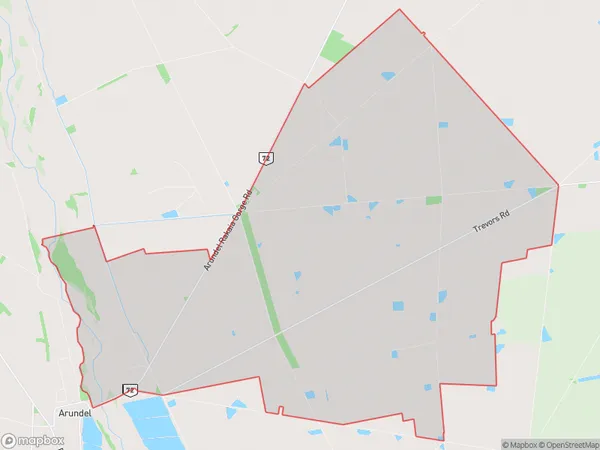
223 people live in Carew, Canterbury, NZCarew Suburb Area Map (Polygon)
Carew Introduction
Carew is a small rural community located in the Ashburton District of Canterbury, New Zealand. It is known for its picturesque rural scenery, historic buildings, and friendly community. The area is popular with outdoor enthusiasts, with many walking and cycling trails nearby. Carew also has a primary school, a post office, and a small supermarket.Region
Major City
Suburb Name
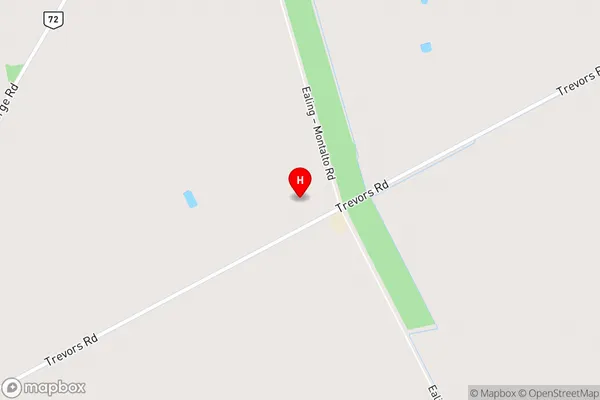
CarewCarew Area Map (Street)
Local Authority
Ashburton DistrictFull Address
Carew, Ashburton District, New ZealandAddress Type
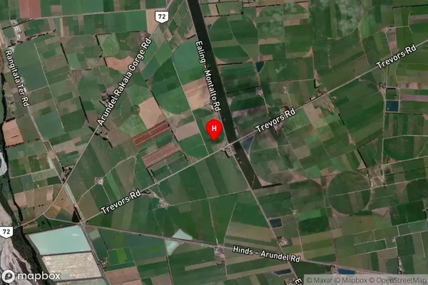
Locality in Town AshburtonCarew Suburb Map (Satellite)
Country
Main Region in AU
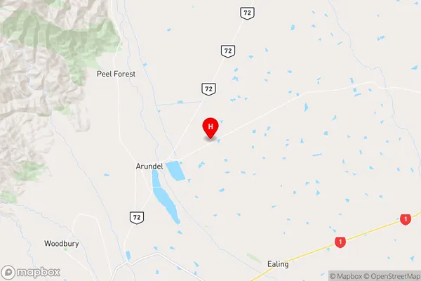
CanterburyCarew Region Map
Coordinates
-43.9580896,171.3529143 (latitude/longitude)Distances
The distance from Carew, Ashburton, Ashburton District to NZ Top 10 Cities