Hinds Suburbs & Region, Hinds Map & Postcodes in Hinds, Ashburton, Canterbury
Hinds Postcodes, Hinds ZipCodes, Hinds , Hinds Canterbury, Hinds Suburbs, Hinds Region, Hinds Map, Hinds Area
Hinds Region (Lynnford, Windermere Region)
Hinds Suburbs
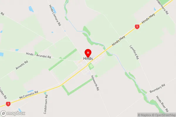
Hinds is a suburb place type in Ashburton, Canterbury, NZ. It contains 0 suburbs or localities.Hinds Region Map
Hinds Introduction
Hinds is a small rural community located in the Canterbury region of New Zealand, approximately 120 kilometers south of Christchurch. It is known for its picturesque rural scenery, including rolling hills, farmland, and picturesque rivers. The community has a population of around 100 people and is home to a variety of businesses, including a general store, a post office, and a cafe. Hinds is also home to a number of historic buildings, including the Hinds Church, which was built in 1877. The community is surrounded by a number of outdoor recreational areas, including the Rakaia Gorge, the Hanmer Springs Thermal Reserve, and the Mount Hutt Ski Area.Hinds Region
Hinds City
Hinds Satellite Map

Full Address
Hinds, Ashburton, CanterburyHinds Coordinates
-43.999306,171.570284 (Latitude / Longitude)Hinds Map in NZ
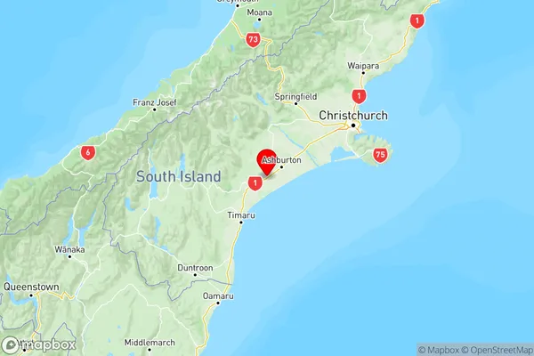
NZ Island
South IslandCountry
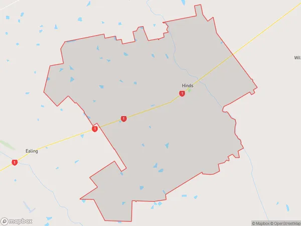
Hinds Area Map (Polygon)
Name
HindsAdditional Name
Lynnford, WindermereLocal Authority
Ashburton District
Hinds Suburbs (Sort by Population)
Hinds also known as Lynnford, Windermere. Hinds suburb has around
183.7 square
kilometers.There are more than 901 people (estimated)
live in Hinds, Ashburton, Canterbury, New Zealand.