Hinds Area, Hinds Postcode(7747) & Map in Hinds
Hinds Area, Hinds Postcode(7747) & Map in Hinds, Ashburton District, New Zealand
Hinds, Ashburton District, New Zealand
Hinds Area (estimated)
183.7 square kilometersHinds Population (estimated)
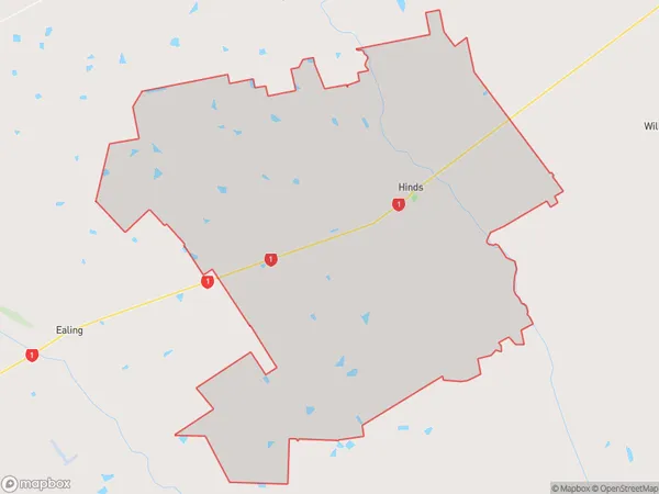
901 people live in Hinds, Canterbury, NZHinds Suburb Area Map (Polygon)
Hinds Introduction
Hinds is a small rural community in Ashburton, Canterbury, New Zealand. It is located on State Highway 1, approximately 20 kilometers south of Ashburton town center. The area is known for its scenic rural landscapes, including rolling hills, farms, and picturesque rivers. Hinds has a primary school, a post office, and a small supermarket. The community is surrounded by beautiful natural attractions, including the Rakaia Gorge, Mount Hutt, and the Ashburton Forest Park.Region
Major City
Suburb Name
HindsOther Name(s)
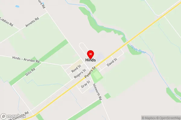
Lynnford, WindermereHinds Area Map (Street)
Local Authority
Ashburton DistrictFull Address
Hinds, Ashburton District, New ZealandAddress Type
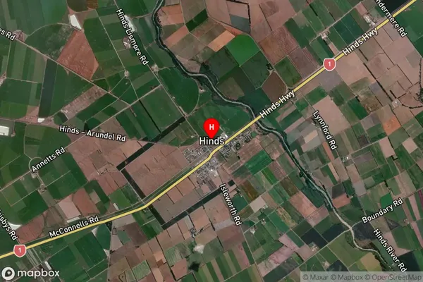
Locality in Town AshburtonHinds Suburb Map (Satellite)
Country
Main Region in AU
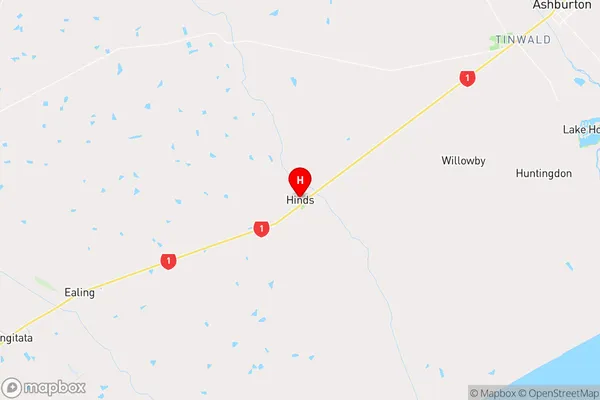
CanterburyHinds Region Map
Coordinates
-43.9993057,171.5702837 (latitude/longitude)Distances
The distance from Hinds, Ashburton, Ashburton District to NZ Top 10 Cities