Winslow Suburbs & Region, Winslow Map & Postcodes in Winslow, Ashburton, Canterbury
Winslow Postcodes, Winslow ZipCodes, Winslow , Winslow Canterbury, Winslow Suburbs, Winslow Region, Winslow Map, Winslow Area
Winslow Region
Winslow Suburbs
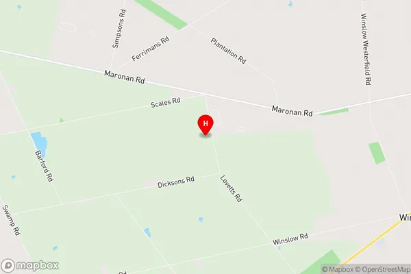
Winslow is a suburb place type in Ashburton, Canterbury, NZ. It contains 0 suburbs or localities.Winslow Region Map
Winslow Introduction
Winslow is a small town located in the Canterbury region of New Zealand. It is situated on the banks of the Rakaia River and is known for its historic buildings and scenic surroundings. The town was founded in 1858 and was named after a British politician, William Winslow. It is a popular tourist destination and is home to several museums and galleries, including the Rakaia Gorge Railway Museum and the Winslow Gallery. The town also has a variety of recreational facilities, including a golf course, a swimming pool, and a sports park.Winslow Region
Winslow City
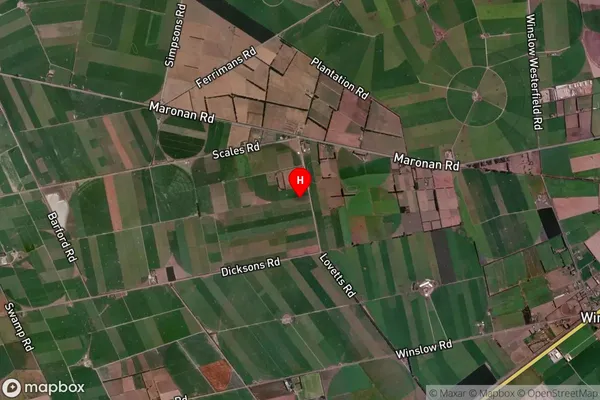
Winslow Satellite Map
Full Address
Winslow, Ashburton, CanterburyWinslow Coordinates
-43.939514,171.607588 (Latitude / Longitude)Winslow Map in NZ
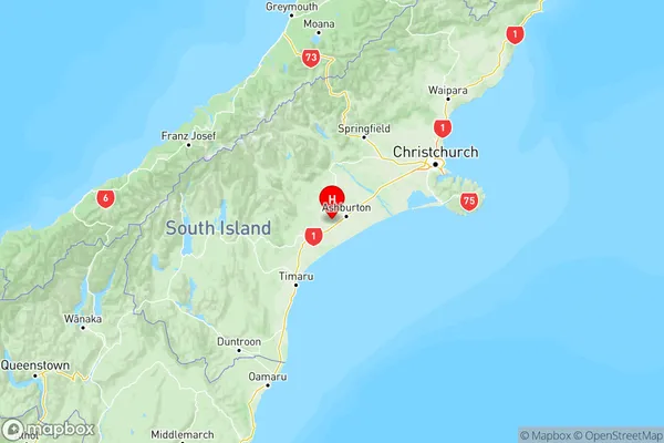
NZ Island
South IslandCountry
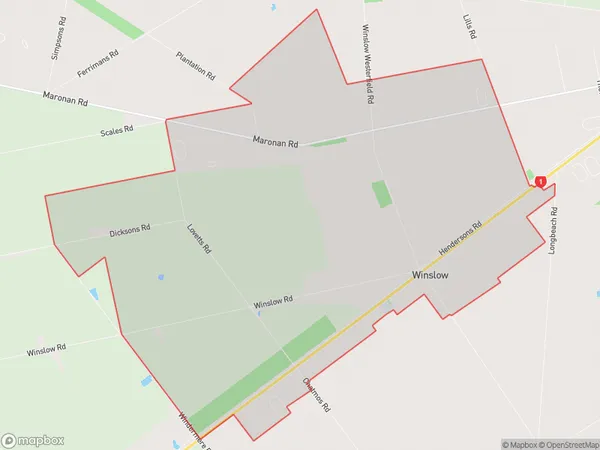
Winslow Area Map (Polygon)
Name
WinslowAdditional Name
Local Authority
Ashburton District
Winslow Suburbs (Sort by Population)
Winslow suburb has around
35.7 square
kilometers.There are more than 241 people (estimated)
live in Winslow, Ashburton, Canterbury, New Zealand.