Valetta Area, Valetta Postcode & Map in Valetta
Valetta Area, Valetta Postcode & Map in Valetta, Ashburton District, New Zealand
Valetta, Ashburton District, New Zealand
Valetta Area (estimated)
75.2 square kilometersValetta Population (estimated)
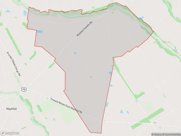
151 people live in Valetta, Canterbury, NZValetta Suburb Area Map (Polygon)
Valetta Introduction
Valetta is a small rural community in Ashburton, Canterbury, New Zealand. It is located on State Highway 1, approximately 10 kilometers south of Ashburton town center. The area is known for its scenic rural landscapes, including rolling hills, farmland, and picturesque rivers. The community has a primary school, a post office, and a small supermarket. Valetta is a popular destination for outdoor enthusiasts, with numerous hiking and biking trails nearby. The area is also home to a number of historic buildings, including the Valetta Hall, which was built in 1878.Region
Major City
Suburb Name
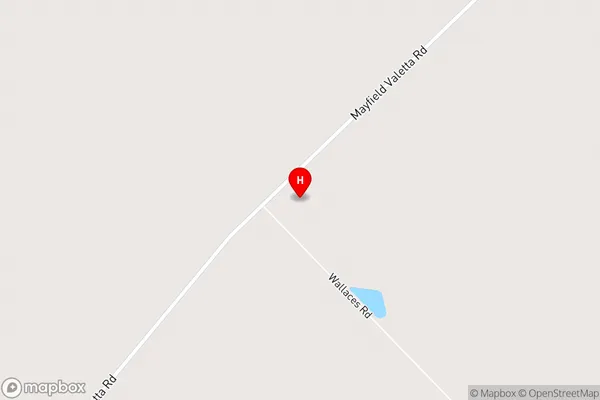
ValettaValetta Area Map (Street)
Local Authority
Ashburton DistrictFull Address
Valetta, Ashburton District, New ZealandAddress Type
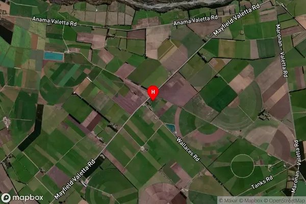
Locality in Town AshburtonValetta Suburb Map (Satellite)
Country
Main Region in AU
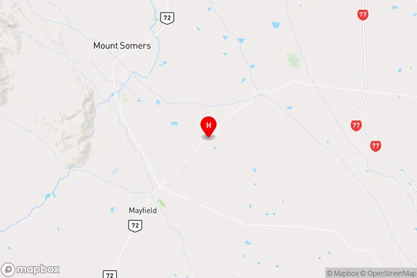
CanterburyValetta Region Map
Coordinates
-43.7707135,171.4864854 (latitude/longitude)Distances
The distance from Valetta, Ashburton, Ashburton District to NZ Top 10 Cities