Lauriston Suburbs & Region, Lauriston Map & Postcodes in Lauriston, Ashburton, Canterbury
Lauriston Postcodes, Lauriston ZipCodes, Lauriston , Lauriston Canterbury, Lauriston Suburbs, Lauriston Region, Lauriston Map, Lauriston Area
Lauriston Region (Cairnbrae, Lyndhurst, Urrall Region)
Lauriston Suburbs
Lauriston is a suburb place type in Ashburton, Canterbury, NZ. It contains 2 suburbs or localities.Lauriston Postcodes
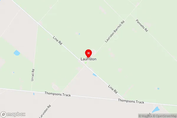
Lauriston Region Map
Lauriston Introduction
Lauriston is a suburb of Christchurch, New Zealand, located in the eastern suburbs of the city. It is known for its historic homes, leafy streets, and vibrant community. The suburb was established in the 1860s and named after the Scottish town of Lauriston. It is home to a variety of cultural institutions, including the Christchurch Art Gallery and the Canterbury Museum. Lauriston is also well-known for its popular parks, including Hagley Park and the Botanic Gardens. The suburb is surrounded by other popular areas, such as Merivale, St Martins, and Addington, and is easily accessible to the city center via public transportation.Lauriston Region
Lauriston City
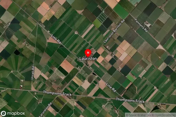
Lauriston Satellite Map
Full Address
Lauriston, Ashburton, CanterburyLauriston Coordinates
-43.730857,171.780063 (Latitude / Longitude)Lauriston Map in NZ
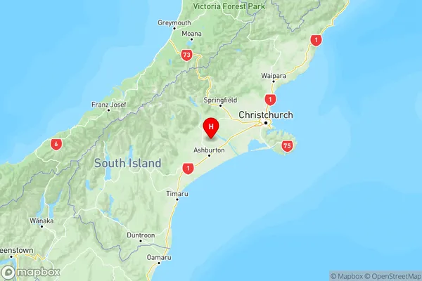
NZ Island
South IslandCountry
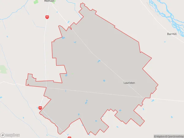
Lauriston Area Map (Polygon)
Name
LauristonAdditional Name
Cairnbrae, Lyndhurst, UrrallLocal Authority
Ashburton District