Lauriston Area, Lauriston Postcode(7776) & Map in Lauriston
Lauriston Area, Lauriston Postcode(7776) & Map in Lauriston, Ashburton District, New Zealand
Lauriston, Ashburton District, New Zealand
Lauriston Postcodes
Lauriston Area (estimated)
199.9 square kilometersLauriston Population (estimated)
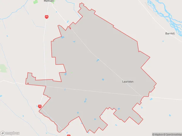
570 people live in Lauriston, Canterbury, NZLauriston Suburb Area Map (Polygon)
Lauriston Introduction
Lauriston is a suburb of Christchurch, New Zealand, located in the eastern suburbs of the city. It is known for its historic homes and gardens, and for being the birthplace of author and poet Janet Frame. The suburb is also home to the Lauriston School, one of the oldest girls' schools in New Zealand.Region
Major City
Suburb Name
LauristonOther Name(s)
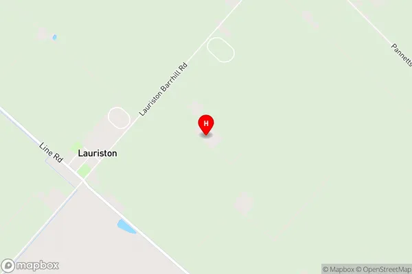
Cairnbrae, Lyndhurst, UrrallLauriston Area Map (Street)
Local Authority
Ashburton DistrictFull Address
Lauriston, Ashburton District, New ZealandAddress Type
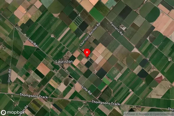
Locality in Major Locality LauristonLauriston Suburb Map (Satellite)
Country
Main Region in AU
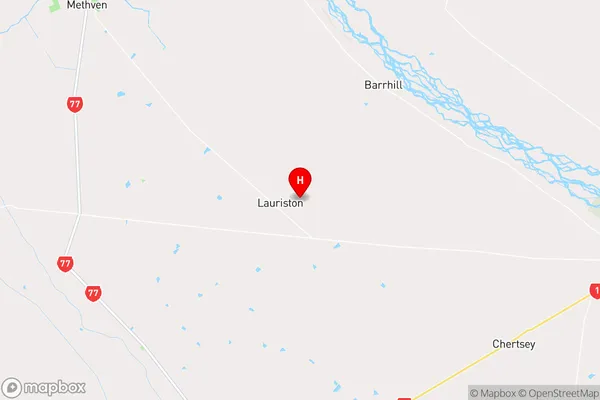
CanterburyLauriston Region Map
Coordinates
-43.72939,171.793634 (latitude/longitude)Distances
The distance from Lauriston, Lauriston, Ashburton District to NZ Top 10 Cities