Allenton Area, Allenton Postcode(7700) & Map in Allenton
Allenton Area, Allenton Postcode(7700) & Map in Allenton, Ashburton District, New Zealand
Allenton, Ashburton District, New Zealand
Allenton Area (estimated)
22.4 square kilometersAllenton Population (estimated)
7310 people live in Allenton, Canterbury, NZAllenton Suburb Area Map (Polygon)
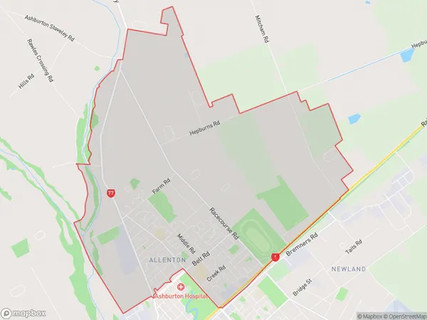
Allenton Introduction
Allenton is a suburb of Christchurch, New Zealand. It is located in the Ashburton District and has a population of around 3,500 people. The suburb was established in the 1860s and is named after Allenton, a village in England. Allenton is known for its historic buildings, including the Allenton Hall, which is now a community center. The suburb also has a variety of shops, cafes, and parks, and is close to the Ashburton Airport and the Ashburton Racecourse.Region
Major City
Suburb Name
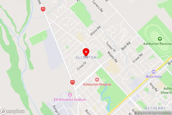
AllentonAllenton Area Map (Street)
Local Authority
Ashburton DistrictFull Address
Allenton, Ashburton District, New ZealandAddress Type
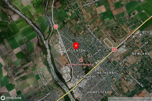
Suburb in Town AshburtonAllenton Suburb Map (Satellite)
Country
Main Region in AU
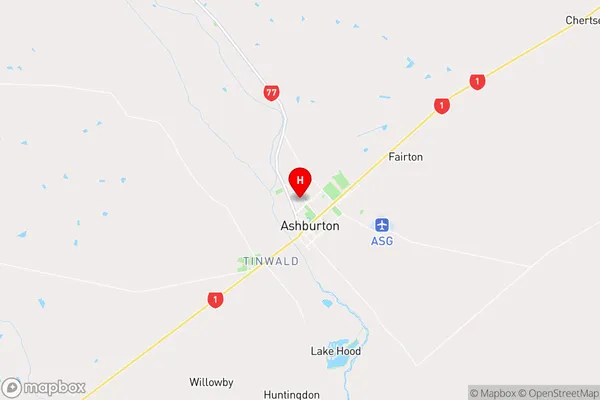
CanterburyAllenton Region Map
Coordinates
-43.889752,171.7434214 (latitude/longitude)Distances
The distance from Allenton, Ashburton, Ashburton District to NZ Top 10 Cities