Mayfield Suburbs & Region, Mayfield Map & Postcodes in Mayfield, Ashburton, Canterbury
Mayfield Postcodes, Mayfield ZipCodes, Mayfield , Mayfield Canterbury, Mayfield Suburbs, Mayfield Region, Mayfield Map, Mayfield Area
Mayfield Region
Mayfield Suburbs
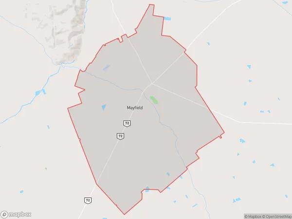
Mayfield is a suburb place type in Ashburton, Canterbury, NZ. It contains 0 suburbs or localities.Mayfield Region Map
Mayfield Introduction
Mayfield is a small rural town located in the Canterbury region of New Zealand. It is situated approximately 20 kilometers south of Christchurch and 12 kilometers north of Ashburton. The town has a population of around 1,200 people and is known for its scenic rural surroundings, including rolling hills, farms, and picturesque rivers. The town has a primary school, a post office, a convenience store, and a community hall. The area is popular with outdoor enthusiasts, with many hiking and biking trails nearby. The town also hosts a annual agricultural show and a Christmas festival.Mayfield Region
Mayfield City
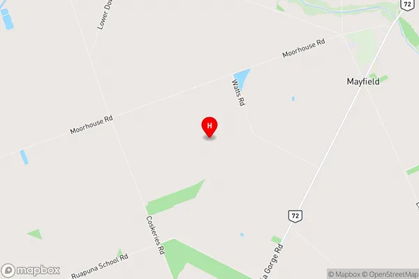
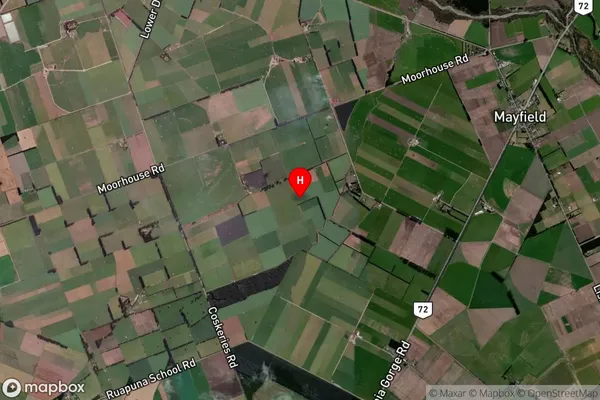
Mayfield Satellite Map
Full Address
Mayfield, Ashburton, CanterburyMayfield Coordinates
-43.831963,171.383747 (Latitude / Longitude)Mayfield Map in NZ

NZ Island
South IslandCountry
Mayfield Area Map (Polygon)
Name
MayfieldAdditional Name
Local Authority
Ashburton District
Mayfield Suburbs (Sort by Population)
Mayfield suburb has around
131.4 square
kilometers.There are more than 420 people (estimated)
live in Mayfield, Ashburton, Canterbury, New Zealand.