Mayfield Area, Mayfield Postcode(7778) & Map in Mayfield
Mayfield Area, Mayfield Postcode(7778) & Map in Mayfield, Ashburton District, New Zealand
Mayfield, Ashburton District, New Zealand
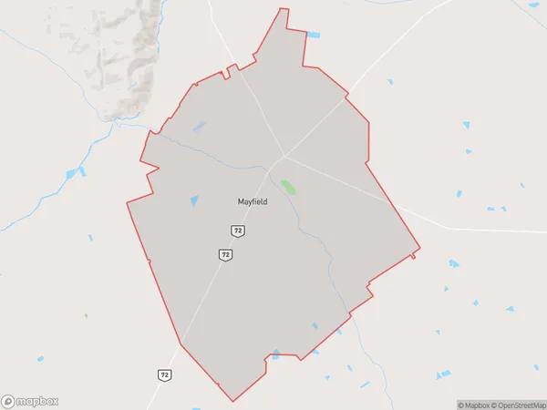
Mayfield Area (estimated)
131.4 square kilometersMayfield Population (estimated)
420 people live in Mayfield, Canterbury, NZMayfield Suburb Area Map (Polygon)
Mayfield Introduction
Mayfield is a small rural town in Ashburton, Canterbury, New Zealand. It is known for its picturesque rural setting, historic buildings, and strong community spirit. The town has a primary school, a post office, a supermarket, and a variety of local businesses and services. The surrounding area is popular for outdoor activities such as hiking, cycling, and fishing, and the town is surrounded by beautiful farmland and scenic landscapes.Region
Major City
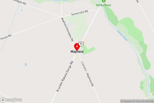
Suburb Name
MayfieldMayfield Area Map (Street)
Local Authority
Ashburton DistrictFull Address
Mayfield, Ashburton District, New ZealandAddress Type
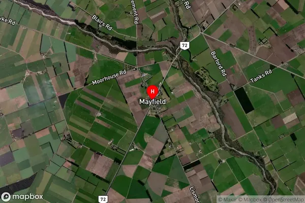
Locality in Town AshburtonMayfield Suburb Map (Satellite)
Country
Main Region in AU
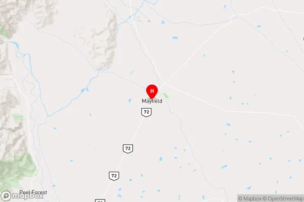
CanterburyMayfield Region Map
Coordinates
-43.821639,171.4215362 (latitude/longitude)Distances
The distance from Mayfield, Ashburton, Ashburton District to NZ Top 10 Cities