Elgin Area, Elgin Postcode(7777) & Map in Elgin
Elgin Area, Elgin Postcode(7777) & Map in Elgin, Ashburton District, New Zealand
Elgin, Ashburton District, New Zealand
Elgin Area (estimated)
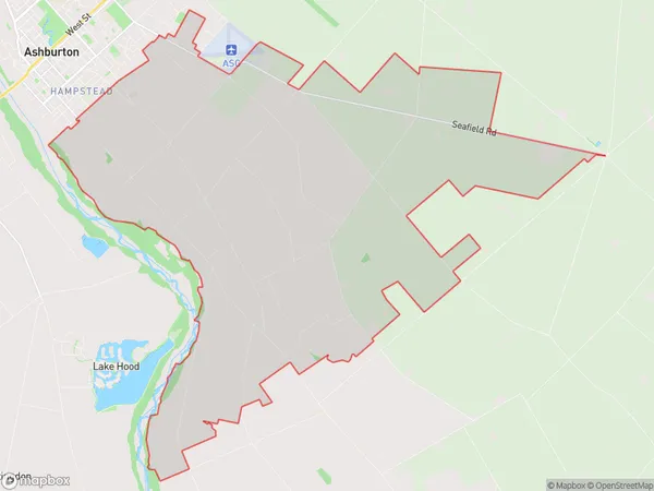
62.2 square kilometersElgin Population (estimated)
682 people live in Elgin, Canterbury, NZElgin Suburb Area Map (Polygon)
Elgin Introduction
Elgin is a city in the Canterbury region of New Zealand, known for its historic architecture and picturesque surroundings. It is located on the banks of the Rakaia River, approximately 100 kilometers south of Christchurch. The city has a population of around 10,000 people and is home to a variety of businesses and industries, including farming, forestry, and tourism.Region
Major City
Suburb Name
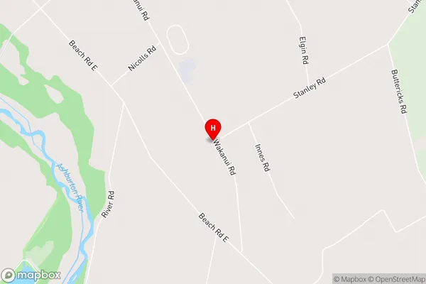
ElginElgin Area Map (Street)
Local Authority
Ashburton DistrictFull Address
Elgin, Ashburton District, New ZealandAddress Type
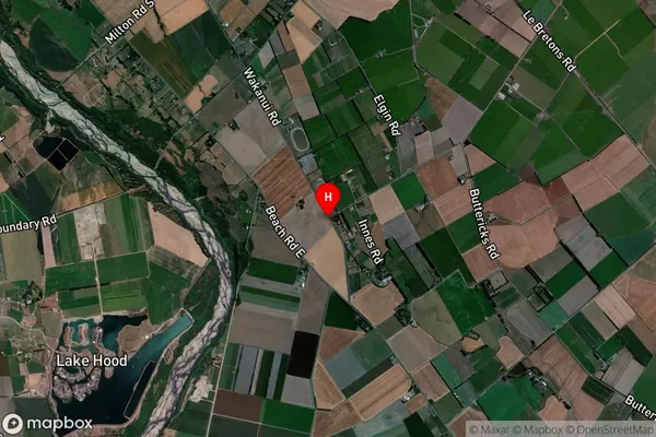
Suburb in Town AshburtonElgin Suburb Map (Satellite)
Country
Main Region in AU
CanterburyElgin Region Map

Coordinates
-43.9484156,171.8051434 (latitude/longitude)Distances
The distance from Elgin, Ashburton, Ashburton District to NZ Top 10 Cities