Pendarves Area, Pendarves Postcode(7777) & Map in Pendarves
Pendarves Area, Pendarves Postcode(7777) & Map in Pendarves, Ashburton District, New Zealand
Pendarves, Ashburton District, New Zealand
Pendarves Postcodes
Pendarves Area (estimated)
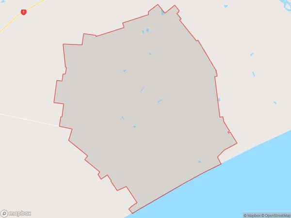
191.1 square kilometersPendarves Population (estimated)
383 people live in Pendarves, Canterbury, NZPendarves Suburb Area Map (Polygon)
Pendarves Introduction
Pendarves is a rural community in Ashburton, Canterbury, New Zealand. It is known for its picturesque rural setting, with rolling hills, farms, and picturesque gardens. The area is popular with outdoor enthusiasts, with many walking and cycling trails nearby. The Pendarves Forest Park is a popular destination for picnics and nature walks. The community has a small population of around 1,000 people and is located about 30 minutes from Ashburton city center.Region
Major City
Suburb Name
PendarvesOther Name(s)
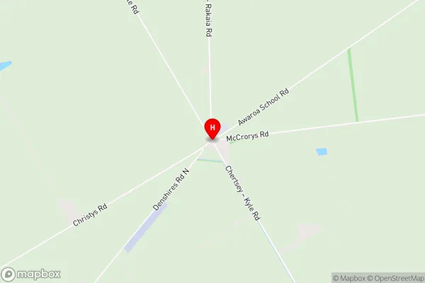
SeafieldPendarves Area Map (Street)
Local Authority
Ashburton DistrictFull Address
Pendarves, Ashburton District, New ZealandAddress Type
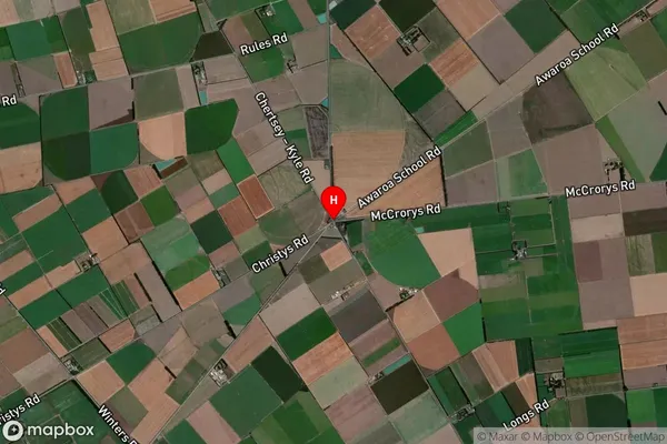
Locality in Town AshburtonPendarves Suburb Map (Satellite)
Country
Main Region in AU
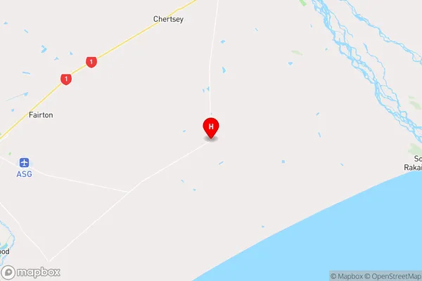
CanterburyPendarves Region Map
Coordinates
-43.8864208,171.9820813 (latitude/longitude)Distances
The distance from Pendarves, Ashburton, Ashburton District to NZ Top 10 Cities