Lowcliffe Area, Lowcliffe Postcode & Map in Lowcliffe
Lowcliffe Area, Lowcliffe Postcode & Map in Lowcliffe, Ashburton District, New Zealand
Lowcliffe, Ashburton District, New Zealand
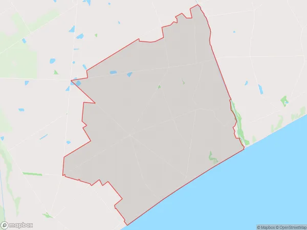
Lowcliffe Area (estimated)
80.1 square kilometersLowcliffe Population (estimated)
149 people live in Lowcliffe, Canterbury, NZLowcliffe Suburb Area Map (Polygon)
Lowcliffe Introduction
Lowcliffe is a small residential suburb of Ashburton, Canterbury, New Zealand. It is located on the banks of the Ashburton River, approximately 10 kilometers south of the city center. The suburb has a peaceful and quiet atmosphere, with a variety of housing options, including single-family homes, apartments, and townhouses. Lowcliffe has a local primary school, a convenience store, and a community center. The area is popular with families and retirees due to its proximity to the river, parks, and recreational facilities.Region
Major City
Suburb Name
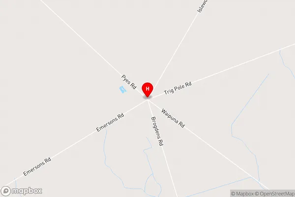
LowcliffeLowcliffe Area Map (Street)
Local Authority
Ashburton DistrictFull Address
Lowcliffe, Ashburton District, New ZealandAddress Type
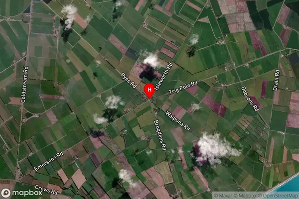
Locality in Town AshburtonLowcliffe Suburb Map (Satellite)
Country
Main Region in AU
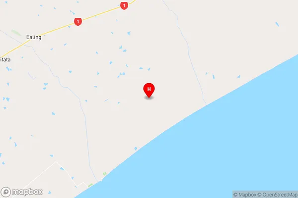
CanterburyLowcliffe Region Map
Coordinates
-44.1066305,171.5782147 (latitude/longitude)Distances
The distance from Lowcliffe, Ashburton, Ashburton District to NZ Top 10 Cities