Greenstreet Area, Greenstreet Postcode & Map in Greenstreet
Greenstreet Area, Greenstreet Postcode & Map in Greenstreet, Ashburton District, New Zealand
Greenstreet, Ashburton District, New Zealand
Greenstreet Area (estimated)
38.5 square kilometersGreenstreet Population (estimated)
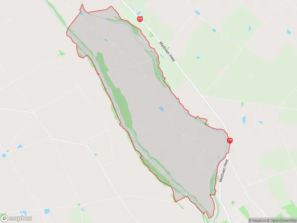
174 people live in Greenstreet, Canterbury, NZGreenstreet Suburb Area Map (Polygon)
Greenstreet Introduction
Greenstreet is a suburb of Ashburton, Canterbury, New Zealand. It is located 10 kilometers from the city center and has a population of around 1,500 people. The suburb was named after a street in London and was developed in the 1920s as a residential area for workers from the nearby timber mills. Greenstreet has a variety of housing styles, including single-family homes, apartments, and duplexes. The suburb has a community center, a library, and a supermarket. Greenstreet is also home to a number of recreational facilities, including a sports field, a swimming pool, and a golf course.Region
Major City
Suburb Name
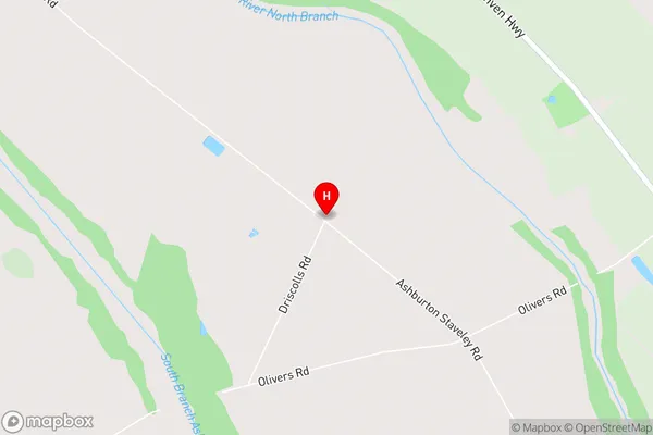
GreenstreetGreenstreet Area Map (Street)
Local Authority
Ashburton DistrictFull Address
Greenstreet, Ashburton District, New ZealandAddress Type
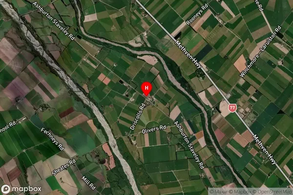
Locality in Town AshburtonGreenstreet Suburb Map (Satellite)
Country
Main Region in AU
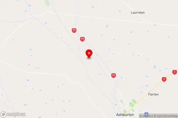
CanterburyGreenstreet Region Map
Coordinates
-43.8090592,171.6669774 (latitude/longitude)Distances
The distance from Greenstreet, Ashburton, Ashburton District to NZ Top 10 Cities