Eiffelton Suburbs & Region, Eiffelton Map & Postcodes in Eiffelton, Ashburton, Canterbury
Eiffelton Postcodes, Eiffelton ZipCodes, Eiffelton , Eiffelton Canterbury, Eiffelton Suburbs, Eiffelton Region, Eiffelton Map, Eiffelton Area
Eiffelton Region (Longbeach, Waterton Region)
Eiffelton Suburbs
Eiffelton is a suburb place type in Ashburton, Canterbury, NZ. It contains 0 suburbs or localities.Eiffelton Region Map

Eiffelton Introduction
Eiffelton is a small rural community in the Canterbury region of New Zealand, located approximately 10 kilometers south of Christchurch. It is known for its picturesque rural setting, with rolling hills, farmland, and picturesque gardens. The community has a population of around 1,000 people and is home to a variety of businesses, including a supermarket, a post office, and a hotel. Eiffelton is also home to a number of historic buildings, including the Eiffelton Hotel, which was built in 1878 and is one of the oldest hotels in New Zealand. The community is surrounded by beautiful natural scenery, including the Rakaia Gorge, which is a popular spot for hiking and picnicking.Eiffelton Region
Eiffelton City
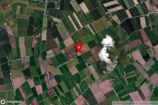
Eiffelton Satellite Map
Full Address
Eiffelton, Ashburton, CanterburyEiffelton Coordinates
-44.027994,171.705116 (Latitude / Longitude)Eiffelton Map in NZ
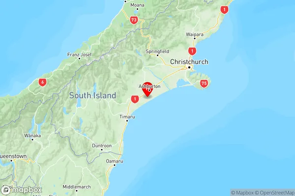
NZ Island
South IslandCountry
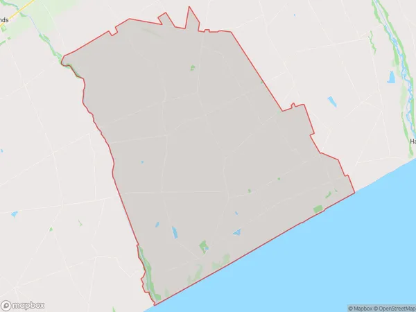
Eiffelton Area Map (Polygon)
Name
EiffeltonAdditional Name
Longbeach, WatertonLocal Authority
Ashburton District
Eiffelton Suburbs (Sort by Population)
Eiffelton also known as Longbeach, Waterton. Eiffelton suburb has around
110.7 square
kilometers.There are more than 344 people (estimated)
live in Eiffelton, Ashburton, Canterbury, New Zealand.