Huntingdon Area, Huntingdon Postcode(3210) & Map in Huntingdon
Huntingdon Area, Huntingdon Postcode(3210) & Map in Huntingdon, Ashburton District, New Zealand
Huntingdon, Ashburton District, New Zealand
Huntingdon Postcodes
Huntingdon Area (estimated)
32.9 square kilometersHuntingdon Population (estimated)
511 people live in Huntingdon, Canterbury, NZHuntingdon Suburb Area Map (Polygon)
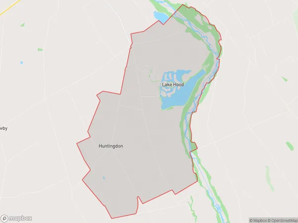
Huntingdon Introduction
Huntingdon is a small town in Ashburton, Canterbury, New Zealand. It is known for its historic buildings, including the Huntingdon railway station and the Huntingdon Hotel. The town also has a variety of shops and cafes, and is a popular stop for tourists traveling through the region.Region
Major City
Suburb Name
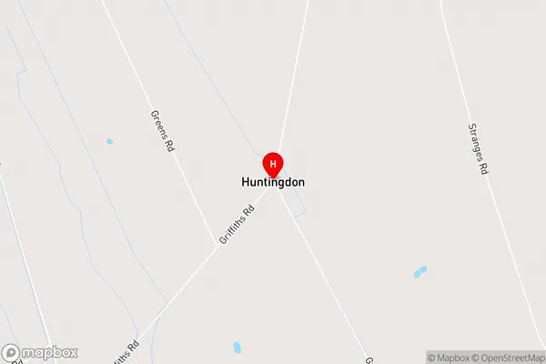
HuntingdonHuntingdon Area Map (Street)
Local Authority
Ashburton DistrictFull Address
Huntingdon, Ashburton District, New ZealandAddress Type
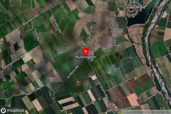
Locality in Town AshburtonHuntingdon Suburb Map (Satellite)
Country
Main Region in AU
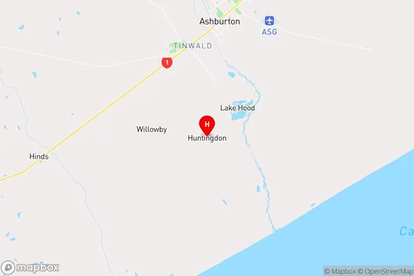
CanterburyHuntingdon Region Map
Coordinates
-43.986101,171.737648 (latitude/longitude)Distances
The distance from Huntingdon, Ashburton, Ashburton District to NZ Top 10 Cities