Ashburton Area, Ashburton Postcode(7700) & Map in Ashburton
Ashburton Area, Ashburton Postcode(7700) & Map in Ashburton, Ashburton District, New Zealand
Ashburton, Ashburton District, New Zealand
Ashburton Postcodes
Ashburton Area (estimated)
3.9 square kilometersAshburton Population (estimated)
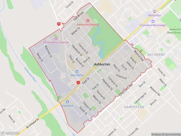
3207 people live in Ashburton, Canterbury, NZAshburton Suburb Area Map (Polygon)
Ashburton Introduction
Ashburton is a city in Canterbury, New Zealand, with a population of around 10,000 people. It is known for its historic buildings, including the Ashburton County Courthouse, and its proximity to outdoor activities such as skiing, hiking, and fishing. The city is also home to a variety of businesses and industries, including farming, manufacturing, and tourism.Region
Major City
Suburb Name
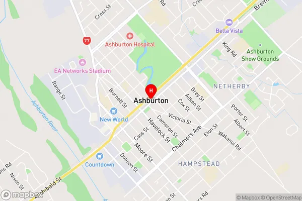
AshburtonAshburton Area Map (Street)
Local Authority
Ashburton DistrictFull Address
Ashburton, Ashburton District, New ZealandAddress Type
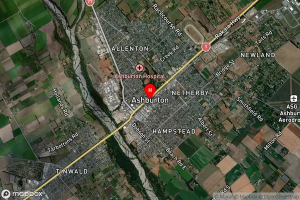
Suburb in Town AshburtonAshburton Suburb Map (Satellite)
Country
Main Region in AU
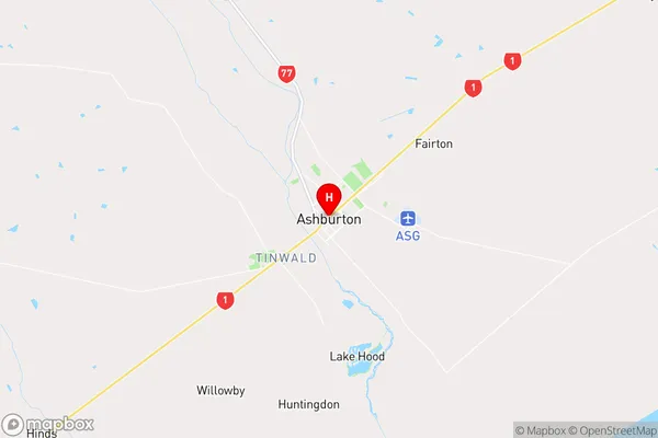
CanterburyAshburton Region Map
Coordinates
-43.9024396,171.7503327 (latitude/longitude)Distances
The distance from Ashburton, Ashburton, Ashburton District to NZ Top 10 Cities