Ashton Area, Ashton Postcode(7774) & Map in Ashton
Ashton Area, Ashton Postcode(7774) & Map in Ashton, Ashburton District, New Zealand
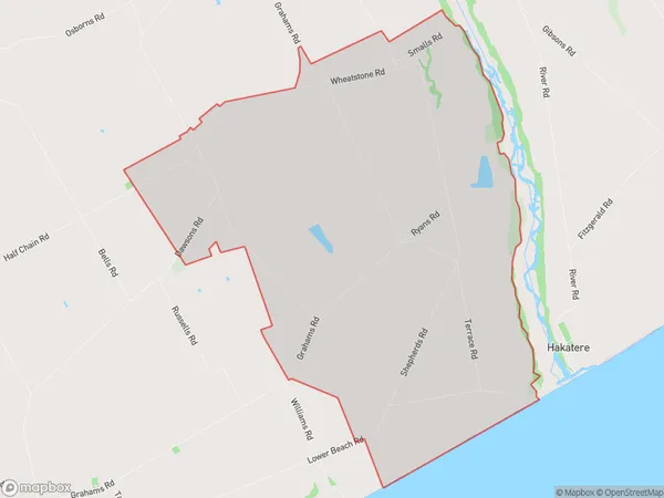
Ashton, Ashburton District, New Zealand
Ashton Postcodes
Ashton Area (estimated)
35.5 square kilometersAshton Population (estimated)
98 people live in Ashton, Canterbury, NZAshton Suburb Area Map (Polygon)
Ashton Introduction
Ashton is a small rural town in Canterbury, New Zealand, located 12 kilometers south of Ashburton. It is known for its historic buildings, including the Ashton School of Art and the Old Church. The town has a population of around 500 people and is surrounded by farmland and picturesque countryside.Region
Major City
Suburb Name
AshtonOther Name(s)
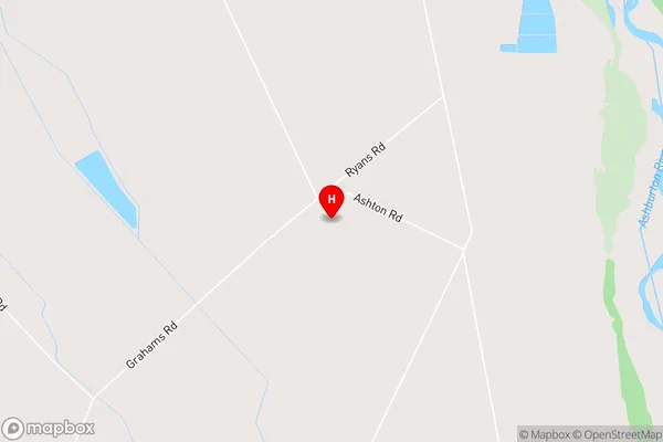
Flemington, WheatstoneAshton Area Map (Street)
Local Authority
Ashburton DistrictFull Address
Ashton, Ashburton District, New ZealandAddress Type
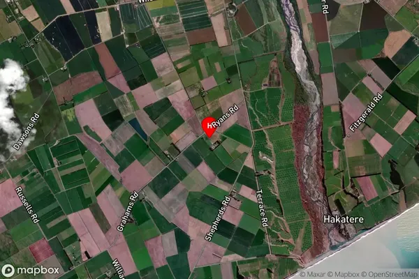
Locality in Town AshburtonAshton Suburb Map (Satellite)
Country
Main Region in AU
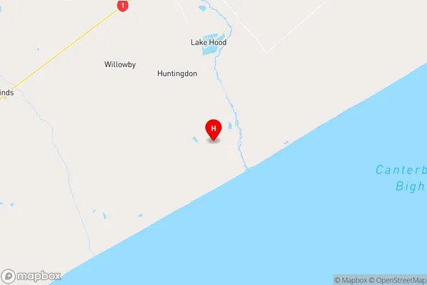
CanterburyAshton Region Map
Coordinates
-44.0339505,171.7727321 (latitude/longitude)Distances
The distance from Ashton, Ashburton, Ashburton District to NZ Top 10 Cities