Newland Area, Newland Postcode(7740) & Map in Newland
Newland Area, Newland Postcode(7740) & Map in Newland, Ashburton District, New Zealand
Newland, Ashburton District, New Zealand
Newland Postcodes
Newland Area (estimated)
40.1 square kilometersNewland Population (estimated)
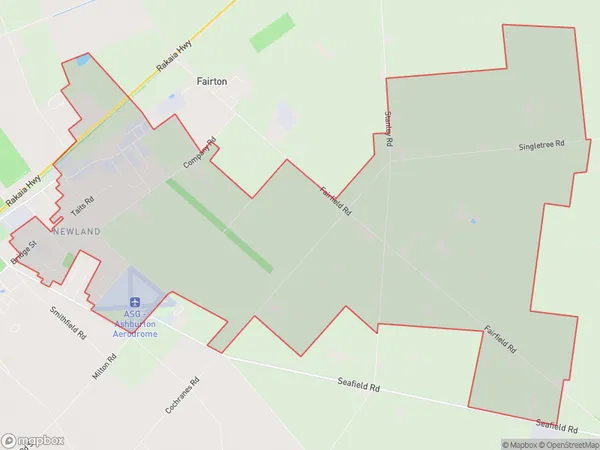
438 people live in Newland, Canterbury, NZNewland Suburb Area Map (Polygon)
Newland Introduction
Newland is a suburb of Ashburton, Canterbury, New Zealand. It is located 10 kilometers south of Ashburton's central business district and has a population of around 1,200 people. The suburb was established in the 1860s and named after Newland, a village in Northumberland, England. Newland is known for its historic buildings, including the Newland Hotel and the Newland Baptist Church. It also has a variety of recreational facilities, including a sports park, a golf course, and a swimming pool.Region
Major City
Suburb Name
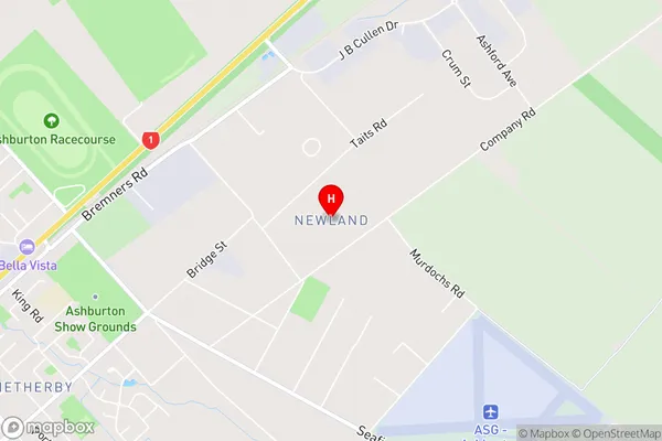
NewlandNewland Area Map (Street)
Local Authority
Ashburton DistrictFull Address
Newland, Ashburton District, New ZealandAddress Type
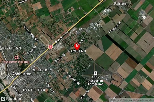
Locality in Town AshburtonNewland Suburb Map (Satellite)
Country
Main Region in AU
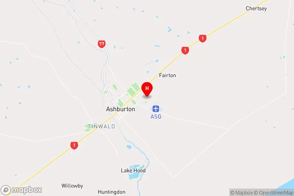
CanterburyNewland Region Map
Coordinates
-43.8913361,171.7872905 (latitude/longitude)Distances
The distance from Newland, Ashburton, Ashburton District to NZ Top 10 Cities