Dromore Area, Dromore Postcode(7772) & Map in Dromore
Dromore Area, Dromore Postcode(7772) & Map in Dromore, Ashburton District, New Zealand
Dromore, Ashburton District, New Zealand
Dromore Postcodes
Dromore Area (estimated)
29.4 square kilometersDromore Population (estimated)
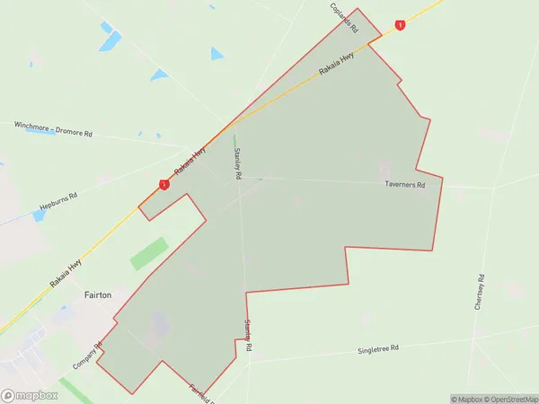
94 people live in Dromore, Canterbury, NZDromore Suburb Area Map (Polygon)
Dromore Introduction
Dromore is a small rural town located in the Ashburton District of Canterbury, New Zealand. It is known for its picturesque rural setting, with rolling hills and lush green fields surrounding the town. The town has a population of around 1,000 people and is home to a variety of businesses and services, including a supermarket, a primary school, and a community hall. Dromore is also a popular destination for outdoor enthusiasts, with nearby hiking and cycling trails and a golf course.Region
Major City
Suburb Name
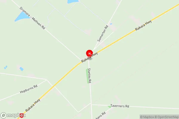
DromoreDromore Area Map (Street)
Local Authority
Ashburton DistrictFull Address
Dromore, Ashburton District, New ZealandAddress Type
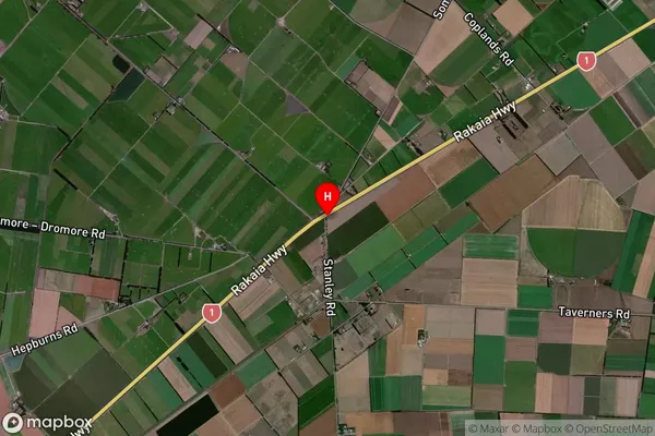
Locality in Town AshburtonDromore Suburb Map (Satellite)
Country
Main Region in AU
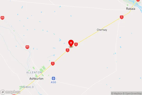
CanterburyDromore Region Map
Coordinates
-43.8376868,171.8507025 (latitude/longitude)Distances
The distance from Dromore, Ashburton, Ashburton District to NZ Top 10 Cities