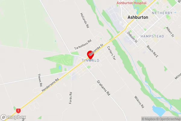
Tinwald Suburbs & Region, Tinwald Map & Postcodes in Tinwald, Ashburton, Canterbury
Tinwald Postcodes, Tinwald ZipCodes, Tinwald , Tinwald Canterbury, Tinwald Suburbs, Tinwald Region, Tinwald Map, Tinwald Area
Tinwald Region
Tinwald Suburbs
Tinwald is a suburb place type in Ashburton, Canterbury, NZ. It contains 0 suburbs or localities.Tinwald Region Map

Tinwald Introduction
Tinwald is a small rural town in Canterbury, New Zealand, located in the Ashburton District. It is situated on the banks of the Tinwald River, approximately 10 kilometers south of Ashburton. The town has a population of around 1,000 people and is known for its picturesque rural setting, historic buildings, and vibrant community. The area was first settled by European settlers in the 1850s, and the town was named after the Tinwald Forest in Scotland. Today, Tinwald is a popular destination for tourists and locals alike, with many attractions and activities to enjoy. The town has a variety of shops, cafes, and restaurants, as well as a community hall, library, and sports facilities. The nearby Tinwald Forest is a popular hiking and biking destination, with many scenic trails and tracks to explore. The town also hosts a number of events and festivals throughout the year, including the Tinwald Show, a rural agricultural fair, and the Tinwald Christmas Festival.Tinwald Region
Tinwald City
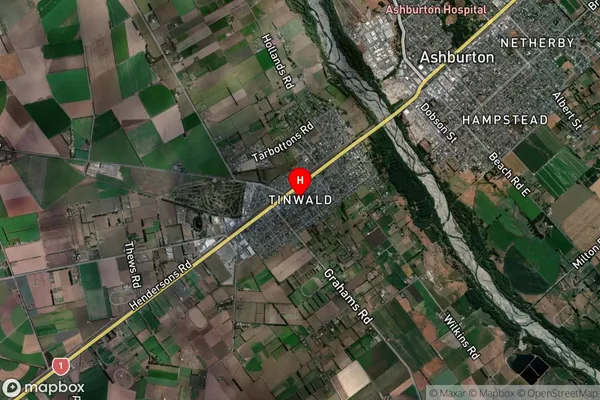
Tinwald Satellite Map

Full Address
Tinwald, Ashburton, CanterburyTinwald Coordinates
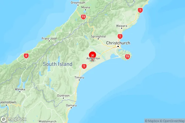
-43.920117,171.723384 (Latitude / Longitude)Tinwald Map in NZ

NZ Island
South IslandCountry
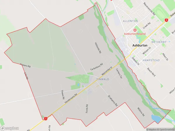
Tinwald Area Map (Polygon)

Name
TinwaldAdditional Name
Local Authority
Ashburton District
Tinwald Suburbs (Sort by Population)
Tinwald suburb has around
43.6 square
kilometers.There are more than 4280 people (estimated)
live in Tinwald, Ashburton, Canterbury, New Zealand.