Maronan Area, Maronan Postcode & Map in Maronan
Maronan Area, Maronan Postcode & Map in Maronan, Ashburton District, New Zealand
Maronan, Ashburton District, New Zealand
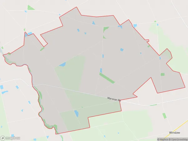
Maronan Area (estimated)
86.4 square kilometersMaronan Population (estimated)
264 people live in Maronan, Canterbury, NZMaronan Suburb Area Map (Polygon)
Maronan Introduction
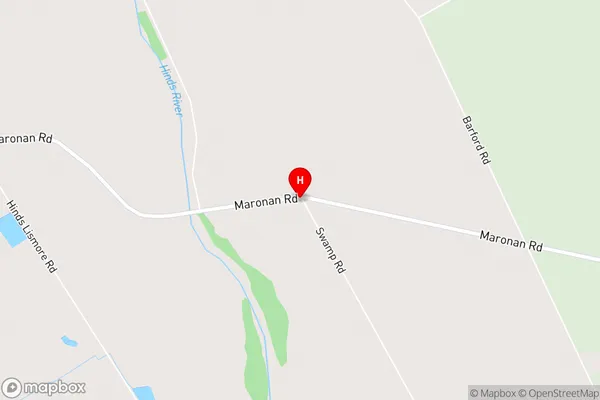
Maronan is a small rural community in Ashburton, Canterbury, New Zealand. It is located on State Highway 1, approximately 20 kilometers south of Ashburton town center. The community has a primary school, a post office, and a small supermarket. Maronan is known for its scenic rural surroundings, including the Maronan Hills and the Rakaia River. The area is popular with outdoor enthusiasts, with many opportunities for hiking, cycling, and fishing.Region
Major City
Suburb Name
MaronanMaronan Area Map (Street)
Local Authority
Ashburton DistrictFull Address
Maronan, Ashburton District, New ZealandAddress Type
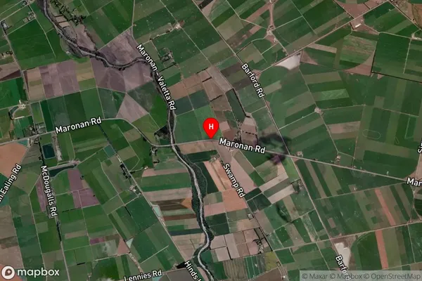
Locality in Town AshburtonMaronan Suburb Map (Satellite)
Country
Main Region in AU
CanterburyMaronan Region Map

Coordinates
-43.9207868,171.5338755 (latitude/longitude)Distances
The distance from Maronan, Ashburton, Ashburton District to NZ Top 10 Cities