Taupo Suburbs & Region, Taupo Map & Postcodes in Taupo, Central North Island
Taupo Postcodes, Taupo ZipCodes, Taupo , Taupo Waikato, Taupo Suburbs, Taupo Region, Taupo Map, Taupo Area
Taupo Region (Bird Area, Botanical Heights, Wharewaka Point Region)
Taupo Suburbs
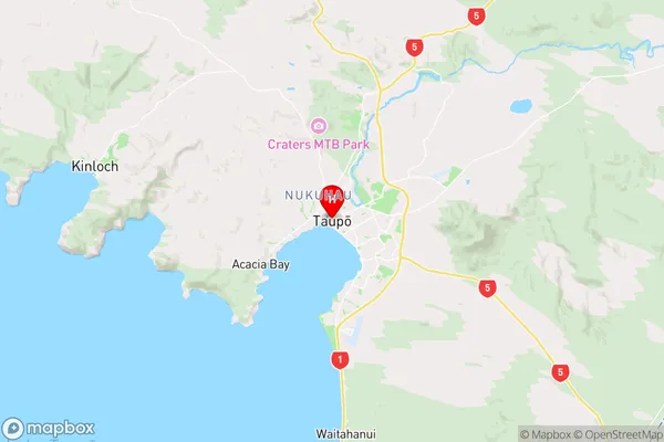
Taupo is a city place type in Central North Island, NZ. It contains 33 suburbs or localities.Taupo Region Map
Taupo Introduction
Taupo is a town on the southern shores of Lake Taupo in the Waikato region of New Zealand's North Island. It is well-known for its natural beauty, including the iconic Mount Taupo and the surrounding Tongariro National Park. Taupo is a popular destination for outdoor activities such as hiking, skiing, fishing, and kayaking, with several scenic trails and waterways to explore. The town also has a rich cultural heritage, with numerous museums and galleries, including the Taupo Museum and the Wairakei Steam Museum. Taupo is home to a large population of New Zealanders and tourists alike and is known for its friendly and welcoming community.Taupo Region
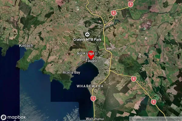
Taupo Satellite Map
Full Address
Taupo, Central North IslandTaupo Coordinates
-38.68662,176.069477 (Latitude / Longitude)Taupo Map in NZ
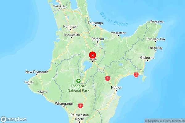
NZ Island
North IslandCountry
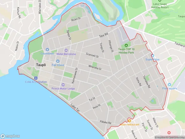
Taupo Area Map (Polygon)
Name
TaupoAdditional Name
Bird Area, Botanical Heights, Wharewaka PointLocal Authority
Taupo District
Taupo Suburbs (Sort by Population)
Taupo
Taupo - 7783Nukuhau
Nukuhau - 3988Hilltop
Hilltop - 2899Richmond Heights
Richmond Heights - 2500Tauhara
Tauhara - 2173Acacia Bay
Acacia Bay - 2034Kinloch
Kinloch - 1874Waipahihi
Waipahihi - 1537Wairakei
Wairakei - 1453Wharewaka
Wharewaka - 1376Rangatira Park
Rangatira Park - 1120Oruanui
Oruanui - 748Two Mile Bay
Two Mile Bay - 685Waitahanui
Waitahanui - 590Marotiri
Marotiri - 491Rainbow Point
Rainbow Point - 266Maunganamu
Maunganamu - 251Tihoi
Tihoi - 165Rotokawa
Rotokawa - 134Rangitaiki
Rangitaiki - 122Tauhara Forest
Tauhara Forest - 66Taharua
Taharua - 62Iwitahi
Iwitahi - 30Waipunga
Waipunga - 14
Taupo Suburbs (Sort in alphabetical)
Acacia Bay
Broadlands Forest
Hatepe
Hilltop
Iwitahi
Kinloch
Kuratau
Lake Taupo (East)
Lake Taupo (West)
Mangakino
Maunganamu
Motuoapa
Nukuhau
Omori
Oruanui
Oruatua
Pukawa
Rainbow Point
Rangatira Park
Richmond Heights
Tahorakuri
Tauhara
Taupo
Taupo Surrounds
Te Rangiita
Tokaanu
Turangi
Waipahihi
Wairakei and Surrounds
Waitahanui
Waitetoko
Whareroa
Wharewaka