Turangi Suburbs & Region, Turangi Map & Postcodes in Turangi, Taupo, Central North Island
Turangi Postcodes, Turangi ZipCodes, Turangi , Turangi Central North Island, Turangi Suburbs, Turangi Region, Turangi Map, Turangi Area
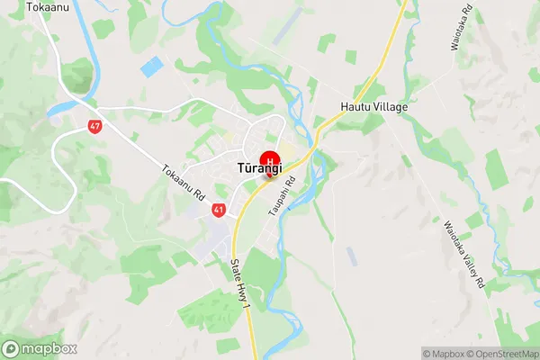
Turangi Region (Hautu Village Region)
Turangi Suburbs
Turangi is a suburb place type in Taupo, Central North Island, NZ. It contains 16 suburbs or localities.Turangi Region Map
Turangi Introduction
Turangi is a small town on the banks of the Tongariro River in the Central North Island of New Zealand. It is known for its natural beauty, including the Tongariro National Park, which is a World Heritage Site and home to the famous Tongariro Alpine Crossing. The town has a population of around 5,000 people and is a popular destination for outdoor enthusiasts, with a range of activities such as hiking, skiing, fishing, and kayaking available. Turangi is also home to a number of cultural attractions, including the Turangi Museum and the Te Papa Tongariro National Museum of New Zealand.Turangi Region
Turangi City
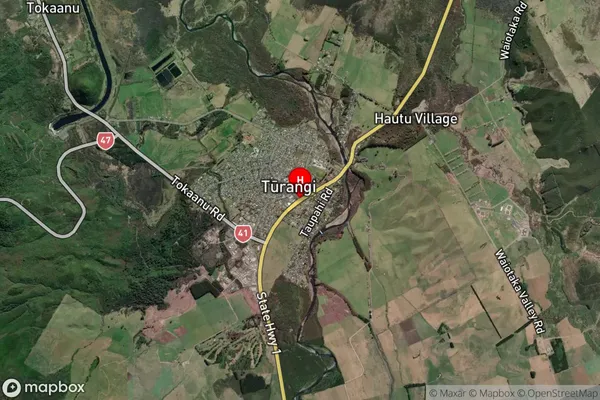
Turangi Satellite Map
Full Address
Turangi, Taupo, Central North IslandTurangi Coordinates
-38.9905117,175.8109105 (Latitude / Longitude)Turangi Map in NZ
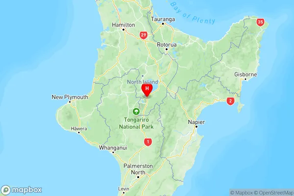
NZ Island
North IslandCountry
Turangi Area Map (Polygon)
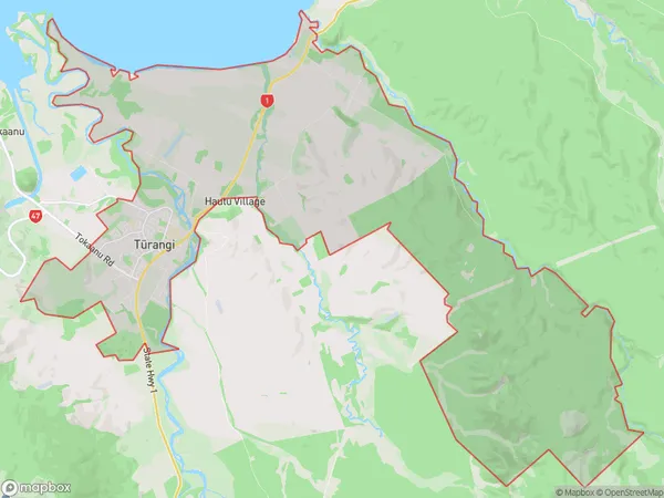
Name
TurangiAdditional Name
Hautu VillageLocal Authority
Taupo District
Turangi Suburbs (Sort by Population)
Turangi
Turangi - 3893Kuratau
Kuratau - 339Tokaanu
Tokaanu - 200Tauranga Taupo
Tauranga Taupo - 170Kaimanawa Forest Park
Kaimanawa Forest Park - 152Omori
Omori - 139Pukawa Bay
Pukawa Bay - 106Rangipo
Rangipo - 71Otukou
Otukou - 64Motutere
Motutere - 36Hatepe
Hatepe - 27Waihaha
Waihaha - 23Waiotaka Valley
Waiotaka Valley - 15Tongariro
Tongariro - 4Waipakihi
Waipakihi - 0Desert Road
Desert Road - 0