Hatepe Area, Hatepe Postcode(3330) & Map in Hatepe
Hatepe Area, Hatepe Postcode(3330) & Map in Hatepe, Taupo District, New Zealand
Hatepe, Taupo District, New Zealand
Hatepe Postcodes
Hatepe Area (estimated)
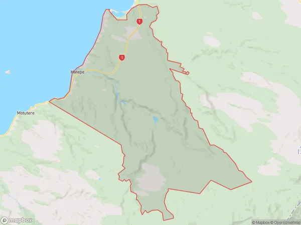
174.0 square kilometersHatepe Population (estimated)
27 people live in Hatepe, Waikato, NZHatepe Suburb Area Map (Polygon)
Hatepe Introduction
Hatepe is a small town in the Waikato region of New Zealand. It is situated on the banks of the Waikato River, approximately 120 kilometers south of Hamilton. The town has a population of around 2,000 people and is known for its historic stone buildings and scenic surroundings. Hatepe also has a primary school, a convenience store, and a community hall. The town is surrounded by farmland and has a peaceful, rural atmosphere.Region
Major City
Suburb Name
HatepeOther Name(s)
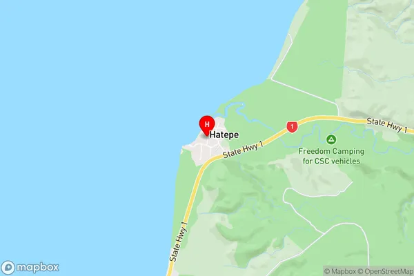
Bulli PointHatepe Area Map (Street)
Local Authority
Taupo DistrictFull Address
Hatepe, Taupo District, New ZealandAddress Type
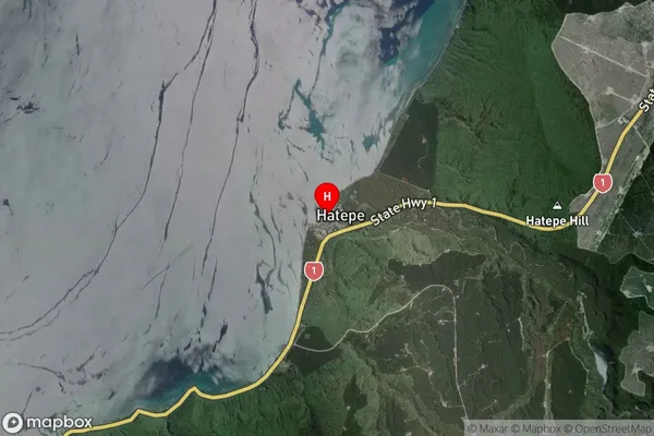
Locality in Town TurangiHatepe Suburb Map (Satellite)
Country
Main Region in AU
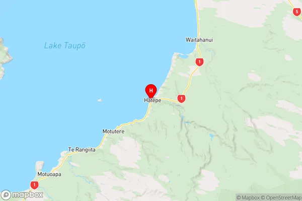
WaikatoHatepe Region Map
Coordinates
-38.8545194,176.0122184 (latitude/longitude)Distances
The distance from Hatepe, Turangi, Taupo District to NZ Top 10 Cities