Waiotaka Valley Area, Waiotaka Valley Postcode & Map in Waiotaka Valley
Waiotaka Valley Area, Waiotaka Valley Postcode & Map in Waiotaka Valley, Taupo District,
Waiotaka Valley, Taupo District,
Waiotaka Valley Area (estimated)
75.0 square kilometersWaiotaka Valley Population (estimated)
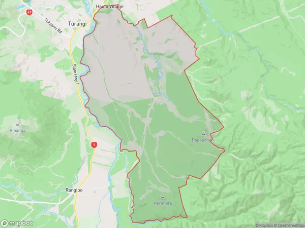
15 people live in Waiotaka Valley, Waikato, NZWaiotaka Valley Suburb Area Map (Polygon)
Waiotaka Valley Introduction
Waiotaka Valley is a picturesque rural area located in Turangi, Waikato, New Zealand. It is known for its stunning natural scenery, including rolling hills, lush green forests, and crystal-clear rivers. The valley is a popular destination for outdoor activities such as hiking, mountain biking, and fishing, and it is also home to a variety of wildlife, including native birds and animals. The Waiotaka River, which flows through the valley, provides a source of water for hydroelectric power generation and is a popular spot for whitewater rafting and kayaking.Region
Major City
Suburb Name
Waiotaka ValleyOther Name(s)
Hautu VillageWaiotaka Valley Area Map (Street)
Local Authority
Taupo DistrictFull Address
Waiotaka Valley, Taupo District,Address Type
Suburb in Town TurangiWaiotaka Valley Suburb Map (Satellite)
Country
Main Region in AU
WaikatoWaiotaka Valley Region Map
Coordinates
0,0 (latitude/longitude)Distances
The distance from Waiotaka Valley, Turangi, Taupo District to NZ Top 10 Cities