Motutere Area, Motutere Postcode & Map in Motutere
Motutere Area, Motutere Postcode & Map in Motutere, Taupo District,
Motutere, Taupo District,
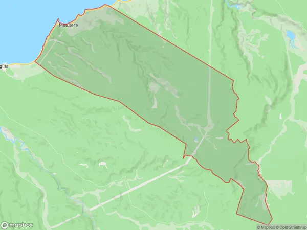
Motutere Area (estimated)
60.0 square kilometersMotutere Population (estimated)
36 people live in Motutere, Waikato, NZMotutere Suburb Area Map (Polygon)
Motutere Introduction
Motutere is a small rural community in the Waikato region of New Zealand, located on the banks of the Waikato River. It is known for its stunning natural scenery, including mountains, forests, and waterfalls, and for its traditional Maori culture. The community has a population of around 1,000 people and is home to a number of historic buildings and landmarks, including the Motutere Marae, a meeting place for the local Maori tribe.Region
Major City
Suburb Name
MotutereOther Name(s)
Bulli PointMotutere Area Map (Street)
Local Authority
Taupo DistrictFull Address
Motutere, Taupo District,Address Type
Locality in Town TurangiMotutere Suburb Map (Satellite)
Country
Main Region in AU
WaikatoMotutere Region Map
Coordinates
0,0 (latitude/longitude)Distances
The distance from Motutere, Turangi, Taupo District to NZ Top 10 Cities