Pukawa Bay Area, Pukawa Bay Postcode(3381) & Map in Pukawa Bay
Pukawa Bay Area, Pukawa Bay Postcode(3381) & Map in Pukawa Bay, Taupo District, New Zealand
Pukawa Bay, Taupo District, New Zealand
Pukawa Bay Postcodes
Pukawa Bay Area (estimated)
1.1 square kilometersPukawa Bay Population (estimated)
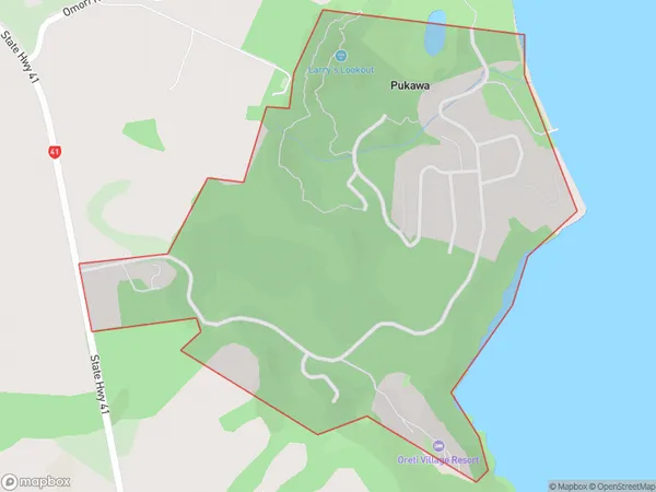
106 people live in Pukawa Bay, Waikato, NZPukawa Bay Suburb Area Map (Polygon)
Pukawa Bay Introduction
Pukawa Bay is a popular beach destination in Turangi, Waikato, New Zealand. It is known for its clear waters, sandy beaches, and stunning natural surroundings. The bay is a popular spot for swimming, kayaking, and fishing, and it is also home to a variety of bird species. Visitors can also explore the nearby Pukawa Forest, a protected area with walking tracks and a historic wooden church.Region
Major City
Suburb Name
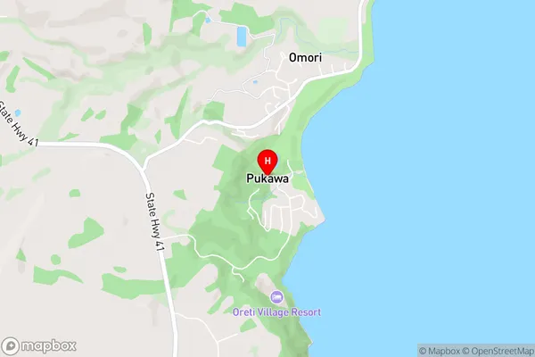
Pukawa BayPukawa Bay Area Map (Street)
Local Authority
Taupo DistrictFull Address
Pukawa Bay, Taupo District, New ZealandAddress Type
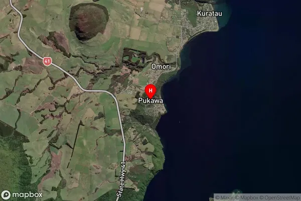
Locality in Town TurangiPukawa Bay Suburb Map (Satellite)
Country
Main Region in AU
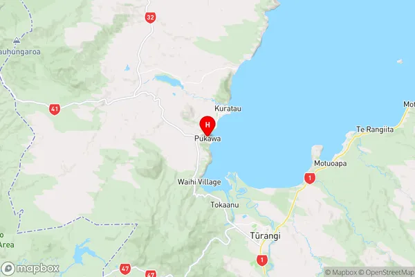
WaikatoPukawa Bay Region Map
Coordinates
-38.9137553,175.7515667 (latitude/longitude)Distances
The distance from Pukawa Bay, Turangi, Taupo District to NZ Top 10 Cities