Rangatira Park Suburbs & Region, Rangatira Park Map & Postcodes in Rangatira Park, Taupo, Central North Island
Rangatira Park Postcodes, Rangatira Park ZipCodes, Rangatira Park , Rangatira Park Waikato, Rangatira Park Suburbs, Rangatira Park Region, Rangatira Park Map, Rangatira Park Area
Rangatira Park Region
Rangatira Park Suburbs
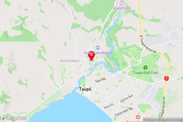
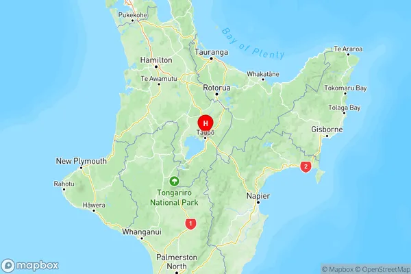
Rangatira Park is a suburb place type in Taupo, Central North Island, NZ. It contains 0 suburbs or localities.Rangatira Park Region Map

Rangatira Park Introduction
Rangatira Park is a 1,500-hectare park located in the Waikato region of New Zealand. It is home to a diverse range of wildlife, including the rare and endangered North Island brown kiwi. The park also features a variety of walking and hiking trails, a golf course, and a visitors center. Rangatira Park is a popular destination for tourists and locals alike, offering a unique opportunity to experience the natural beauty of New Zealand while learning about the region's rich cultural and historical heritage.Rangatira Park Region
Rangatira Park City
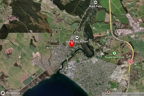
Rangatira Park Satellite Map

Full Address
Rangatira Park, Taupo, Central North IslandRangatira Park Coordinates
-38.674274,176.073047 (Latitude / Longitude)Rangatira Park Map in NZ

NZ Island
North IslandCountry
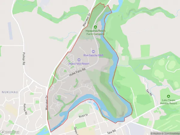
Rangatira Park Area Map (Polygon)

Name
Rangatira ParkAdditional Name
Local Authority
Taupo District
Rangatira Park Suburbs (Sort by Population)
Rangatira Park suburb has around
2.5 square
kilometers.There are more than 1120 people (estimated)
live in Rangatira Park, Taupo, Waikato, New Zealand.